12.9 miles · +1,510 ft
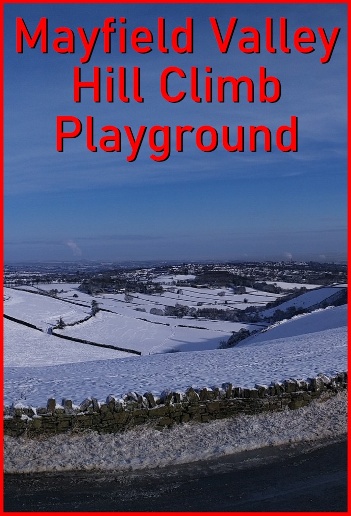
I’m slightly reluctant to share this lovely route as it feels like a nice little secret: smooth roads, quiet traffic and beautiful views, all packed into a swift 13 miles.
You can find the route on RidewithGPS or Komoot.

Starting at the lowest point of the loop: the junction of Hangingwater Road / Fulwood Road, you’re straight up the first climb of the day: Gladstone Road. At the top, turn left and you’ll quickly reach Carsick Hill Road, a devilish little kick that leads you to an even worse 20% footpathy bit at the top of Tom Lane.
You’ve got a couple of miles of smooth undulation now, as you leave civilisation behind and enter acres of farmland. A dead-end road sign indicates that you need to turn left onto Sloughy Lane, and it’s here that you get a little taste of what is to come. Follow the road round until you get to Roper Hill, which can be a nasty surprise if you’re not expecting it.

After about half a mile, as the the road bends left, you reach the highest point of the loop and one of my favourite views over Sheffield. Take a moment to appreciate the lovely scenery before beginning a speedy descent. Be aware that you’ll need to take a very sharp left immediately after the house, on to Andwell Lane, to continue the very fast drop. Take extra care here as there are a few wiggles in the road and cars do occasionally suddenly appear from around the blind corners.

As soon as you hit the bottom of the descent you’re immediately into the ascent of Douse Croft Lane, which feels all the harder because of how fast you were travelling only moments before. Plod your way up, take the first left on to Brown Hills Lane, then take the next right for the speedy descent of Lodge Moor Road.
It’s a blind junction, so take care as you turn up Blackbrook Road, which slices through Spider Park, then drops quickly back down at around 7%. Take a left on to Harrison Road, then a very sharp switchback down David Lane and another tight left down Mayfield Road.
It’s almost a mile uphill now (average 7% but maxing out at 13%) as you climb Mark Lane, Foxhall Lane, Harrop Lane and Greenhouse Lane before finally reaching the Sheffield Rotary Club Viewpoint (I read that on a clear day you can see Lincoln Cathedral, York Minster and the Humber Bridge from here, although I’ve only ever managed to spot Lincoln Cathedral). You’ve done the hard work now, so its a speedy descent almost all the way, past the alpaca farm, down a mile of Redmires Road, left just before Bents Green School, onto Cottage Lane, and possibly the hairiest section of the whole loop: the steep corner on Woodcliffe, where I once came off my bike into the drystone wall, breaking my helmet in the process. There is little bump to get through Fulwood but once you’re past Christ Church it’s all zooming down Fulwood Road and back to the start.
GPS routes
Found somewhere interesting to ride? ❤ Support the site!
