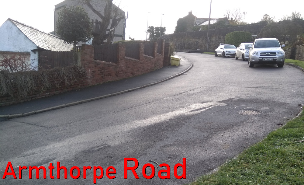
- Woodcliffe & Hangram Lane
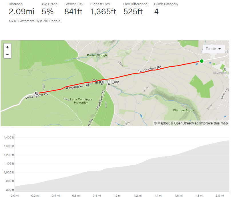
- Length: 0.81 miles
- Avg gradient: 8% Peak gradient: 22.8%
- Difficulty: 3/5 (steep but not too long)
- Likelihood of encountering unpleasant motor-vehicles: 2/5
- Strava (Strava gets the hill’s topography incorrect. It appears as if there is a far longer flat stretch between the two climbs than there really is).
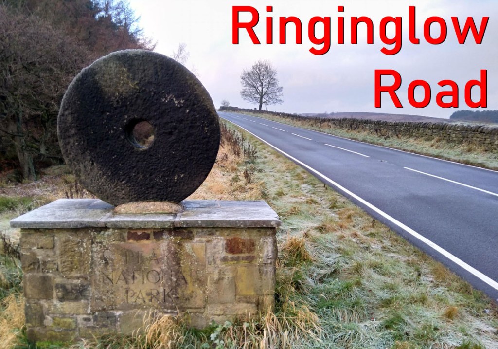
Woodcliffe and Hangram Lane is another route out of the suburbs to the edge of the Peak District but I was surprised to learn that it’s only 0.8 miles, as it feels much longer. At its peak, you’ll join Ringinglow Road, about half-way up. However, that hill will seem like a walk in the park once you’ve climbed this one.
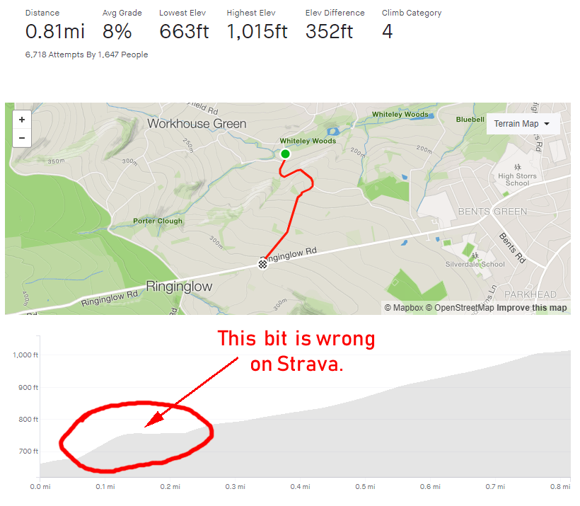
The hill begins gently as the road crosses the Porter Brook but immediately picks up as it passes Clough Lane and curves around to the left. This is the hardest part of the climb and where the gradient quickly slips into double figures. Do your best to dig in here, as this short straight section maintains its steepness until the next corner where the gradient touches the low 20s.

There is a brief blast of flat terrain before you turn right, onto Hangram Lane, where the road begins to climb once more. You’ll pass a couple of houses before the the trees begin to drop away, revealing open farmland on either side.
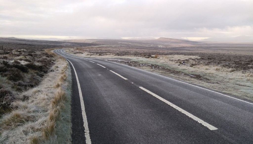
Even though you’ve done the steepest bit and here the road is only averaging 7-9%, I always find this section more challenging as it feels more relentless. Once you’re past the farm shop though, the end is in sight and you’ll shortly reach Ringinglow Road, where you can head downhill into Sheffield or upwards out into the Peak District.