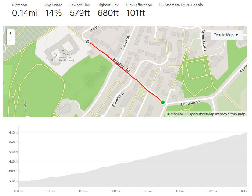
- Upper Valley Footpath
- Length: 185 feet (yes, it’s short)
- Avg gradient: 21%
- Peak gradient: 31%
- Difficulty: 2/5
- Likelihood of encountering unpleasant motor-vehicles: 0/5
- Elevation gain: 40ft
- Strava It won’t let me make one as it’s too short.
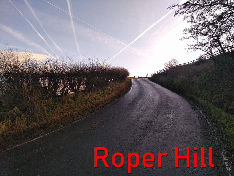
Want some ‘30% climb’ bragging rights?
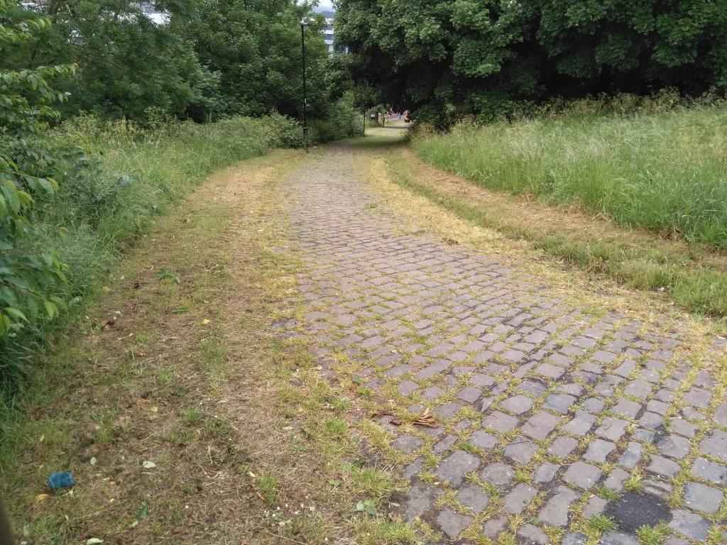
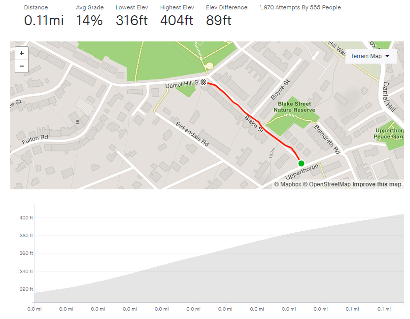
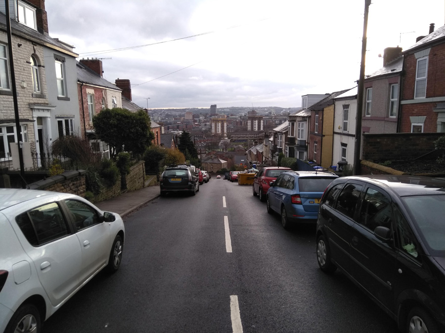
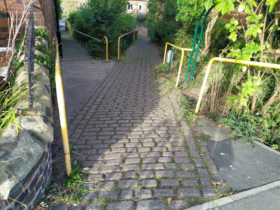
While on the topic of gennels that you probably shouldn’t cycle up, I present to you the highly specific footpath between Upper Valley Road and Argyle Street, Meersbrook.
Facing the far more difficult Kent Road, this is its own unique challenge, with both a higher average and peak gradient than its neighbour. At only 184 feet long, it’s not time consuming, just make sure you do it when there isn’t someone coming down the path.

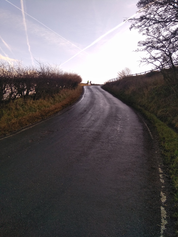
At the start you will see two paths, make sure that you take the one on the left, as I think the right-hand one has a few steps. It’s cobbled, so you can pretend you’re in Belgium as you begin the 10% opening. As the path bends slightly, the gradient is up to 20% and continues increasing as you climb. Keep the momentum, as you pass some little mosaic bollards and you briefly touch a 30% incline. Then, like that, you’re at the top.
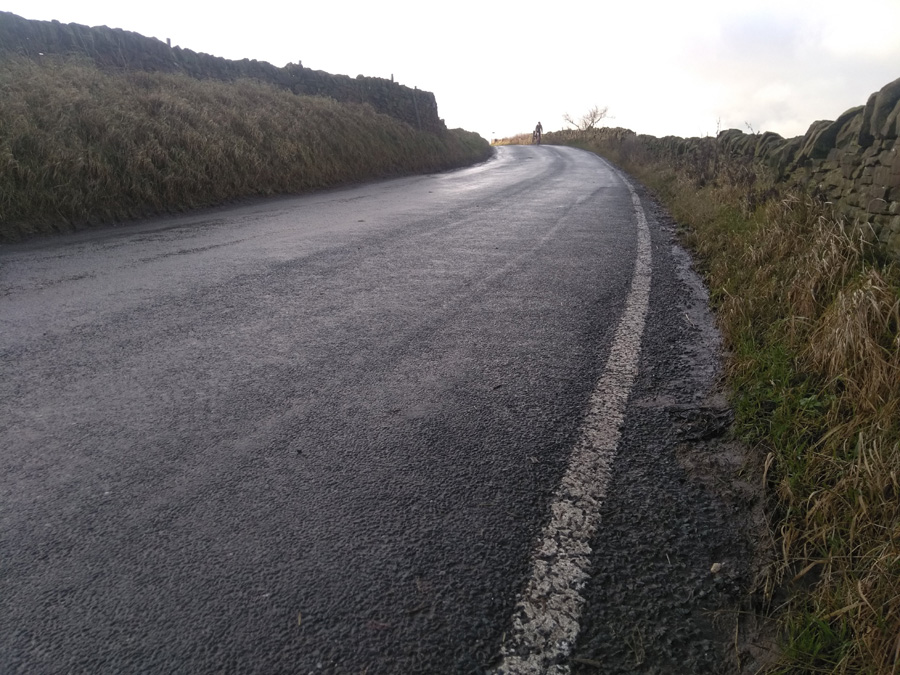
You can now tell all your mates that you cycled up a 30% gradient, just don’t tell them how long it was.