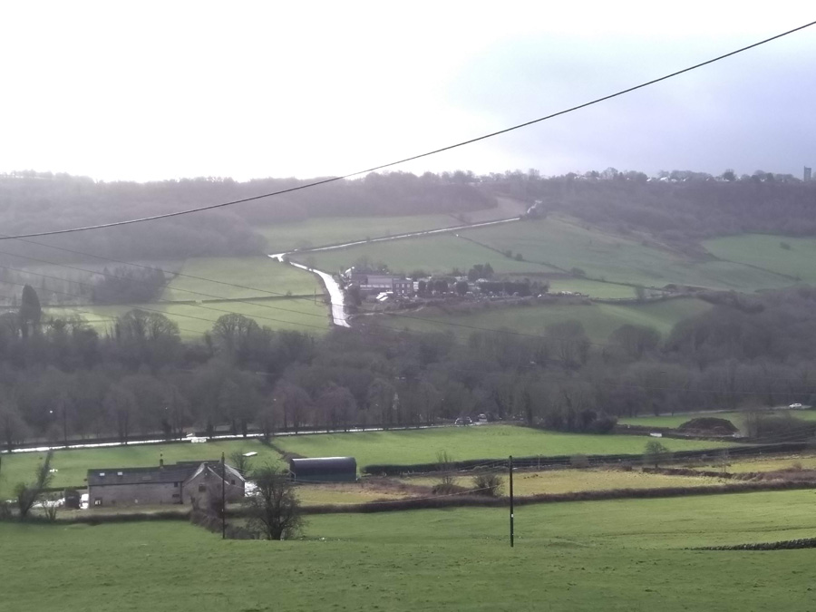
- Rivelin Bank & Walkley Bank Road
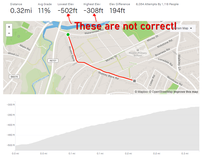
- Length: 0.32 miles
- Avg gradient: 11.3% Peak gradient: 14.9%
- Difficulty: 3/5
- Likelihood of encountering unpleasant motor-vehicles: 2/5
- Elevation gain: 194 ft
- Strava
The first time I tackled this climb I didn’t really know where I was going and thought this might have been a more direct route home. I might have been correct about it being more direct but it certainly wasn’t flatter.
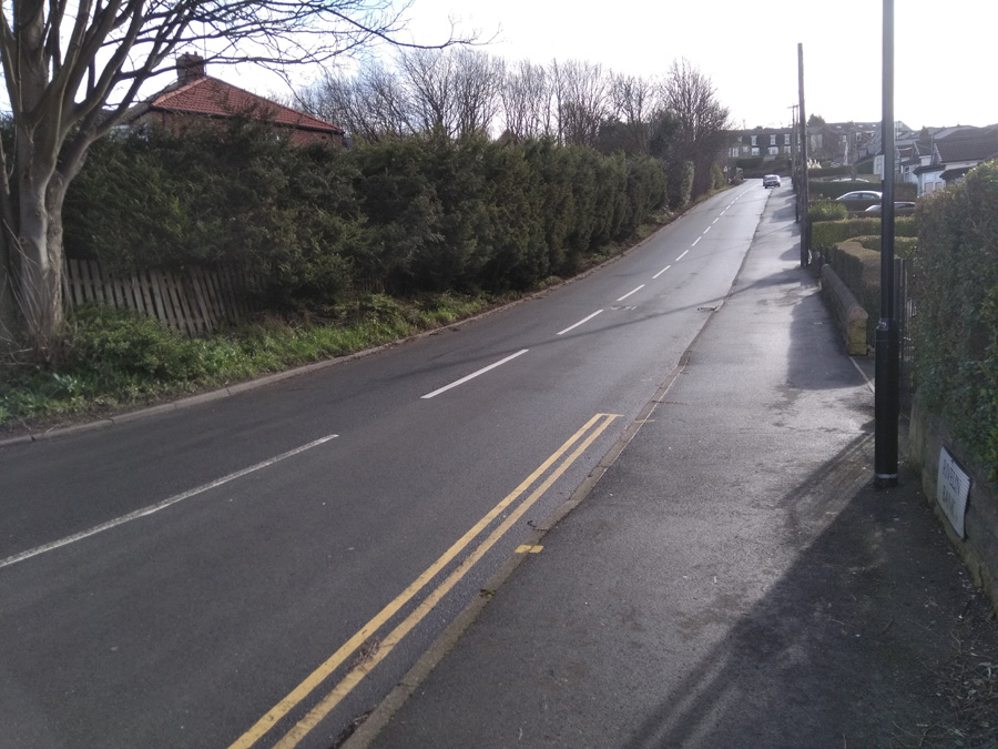
Rivelin Bank’s gradient is very quickly into double figures with an average of 13% until the bend to the left and the junction with Racker Way. It’s a dead straight section, so it’s all about putting your head down and grinding. The first time I did the hill and its steepness took me by surprise, I had to take a turn around an apartment’s parking lot about half way up, just to get my breath back without having to actually stop pedaling.
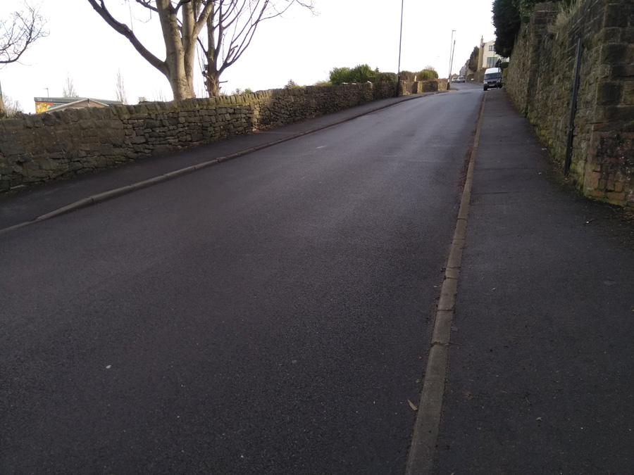
The approach to the bend is the steepest section and, once you’re around it, the gradient does ease off, dropping to around 10.5% for the second half of the climb. You’re now on Walkley Bank Road, with the allotments on your left and a high wall on your right. Once you pass the junction of Hawthorne Road the steepness begins to peter out, until you trundle to the apex at Walkley Bank Close.
This was by no means the end of my route home and, as you’ll find if you explore Walkley, by no means the only challenging hill in the area.