Tag: off-road

Bungay Street

  • Bungay Street
  • Length: 0.11 miles
  • Avg gradient: 9%   Peak gradient: 12%
  • Difficulty: 1/5 (it’s very short!)
  • Likelihood of encountering unpleasant motor-vehicles: 0/5
  • Elevation gain: 55ft
  • Strava

A recommendation from the CycleSheffield FB forum, this a little hill that I would never have come across otherwise and serves as a nice partner to Paradise Street. If you’re still craving the Belgian taste of cobbles, this is one to have a go at.

First off, look at the length. This is a sprint, not a marathon but, much like when I attempted Paradise Street and Blake Street before that, don’t try to show off and go in bigger than you can, as you may well find yourself embarrassingly panting, out of breath halfway up this rather short hill. Not that that happened to me, of course…

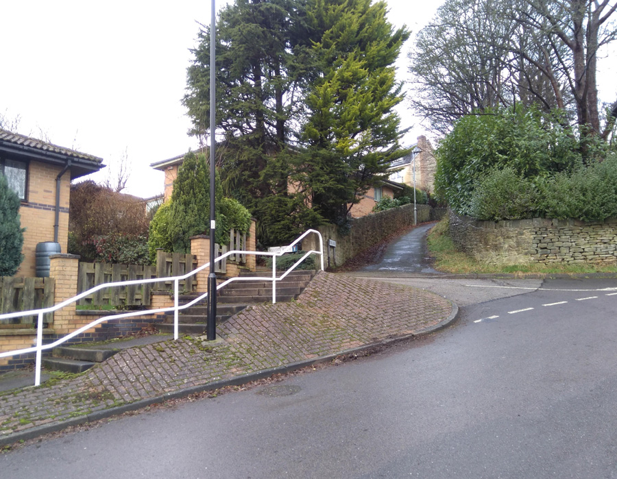
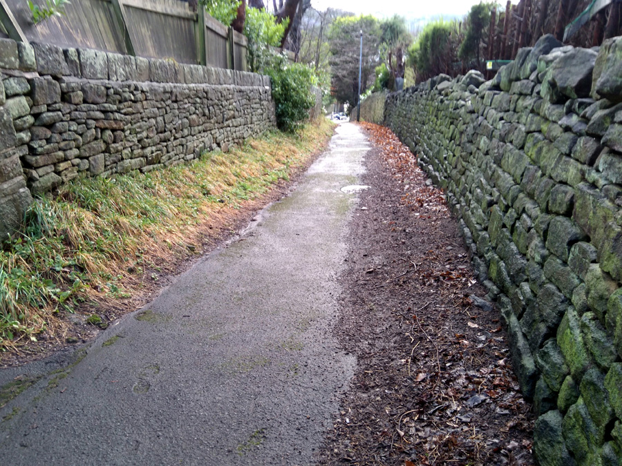
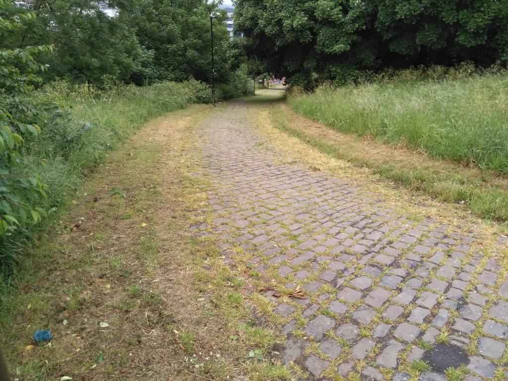
Bungay Street is out the back of the train station, a path cutting through Sheaf Valley Park and you can see the top from the bottom, so just blast onwards and upwards but watch out for pedestrians – I imagine it could be quite busy during commuter times. It commences at about 6.8% and the gradient steadily increases until you reach 12% at the top, where the path meets South Street and the climb concludes, with a great view across the city.

Just like Paradise Street, it’s head down, pedal away, see how quickly you can get up.

Tom Lane

  • Tom Lane
  • Length: 0.76 miles 
  • Avg gradient: 8%   Peak gradient: 12.9%
  • Difficulty: 3/5
  • Likelihood of encountering unpleasant motor-vehicles: 1/5
  • Strava 

A nondescript, residential road in the leafier end of Sheffield, I was surprised to see that, statistically this hill is actually not that different from the far more imposing Lodge Lane.  Tom Lane is not as hard as that but it does have a couple of spikes along the way and, for the sake of this segment, a surprising little twist in its tail.  I’ve worked around here quite a bit and would regularly see a mum cycling up here with a child on the back of her bike.  Strava kudos to her for that.

Tom Lane starts innocently enough, opposite the junior school, with a gradient fluctuating around the 4-5% mark, as you climb the first couple of bends.  As you pass house number 74, however, the road straightens up, gets steeper and the hill’s first challenge is laid in front of you.  The hill is now around 12% and you feel each percentage as you pedal up to a large stone cottage at the junction of Belgrave Drive.  It is slightly less steep now but you’re still plodding upwards.

Follow the road, ignoring any junctions and continue round, first a left bend and then a right.  This little section here, for me, feels the hardest part of the road section.  There isn’t a significant increase in gradient but the approach to the right-hand bend – and the bend itself – really makes you feel like you’re dragging your bike.

You’ll soon reach a T-junction, turn right and continue upwards on what, once again, feels steeper than it is.  Take the next left (the road you turn onto remains Tom Lane) and head up this narrower section of road, often with numerous parked cars on either side.  You’ll shortly come to a brief section of 5% as you round a few more bends and pass Hillcote Close on your left. It’s here that you’re going to find that surprising twist in Tom Lane’s tail.

As you pass the steps with a handrail, on the left, instead of sticking to the road, wiggle round onto what looks like a footpath (there are no signs saying cycling in prohibited and it even has a Tom Lane road sign at the bottom so I’m sure it’s legal).  It’s this brief bumpy section that pulls the average up and my recording of this part puts the gradient between 17-22%. However, your fancy road bike might not like the surface.  It’s only short, though, and you’ll soon reach Redmires Road and the golf club.

Well done, you’ve just made it up a modest yet surprisingly challenging hill. Which is exactly what a Sheffield cycling climb should be.

Meersbrook Park

  • Meersbook Park
  • Length: 0.3 miles
  • Avg gradient: 9.5%   Peak gradient: 20%
  • Difficulty: 2/5 (steep but not long)
  • Likelihood of encountering unpleasant motor-vehicles: 0/5
  • Strava

A very hilly park, a couple of miles south of the city centre. My introduction to Meersbrook Park was cycling downhill through it at great speed.  It made me wonder what it would be like to tackle it in the opposite direction. There are several routes – all looking steep – through the park but, for the sake of this, I did (with some extension) the Strava segment labelled ‘Meersbrook Grind’.

You’ll enter the park from the direction of Brooklyn Road and the house with the attractive bird mural by Faunagraphic.  The path starts easily enough as you pass the tennis courts on your right.  Looking left, through the trees, you can see what you’re about to tackle.  Follow the path and begin the climb in earnest.  It’s here the the Strava segment begins.

The path is smooth with a gentle curve and you can pretty much see where you’re headed the whole time but it is a bit unrelenting, hitting the peak gradients about halfway up. Different sources disagree about the steepest point of the hill, varying from 17% to almost 22%.  Whatever the reality, you get some idea of how steep the hill is from the angle of the houses in the photo.

If you can, glance behind you, as you climb higher and higher you get an ever more impressive panorama of Sheffield.  Eventually you’ll reach small play trail as the hill begins to peter out.  Shortly after, you’ll reach the 16th century Bishops House and the top of Meersbrook Park.  A short but sweet Sheffield hill climb.