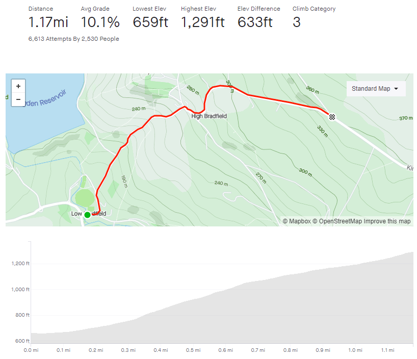
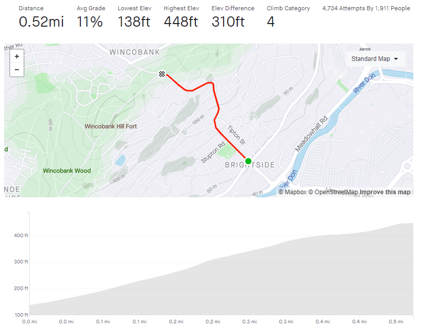
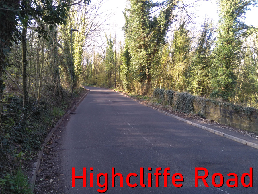
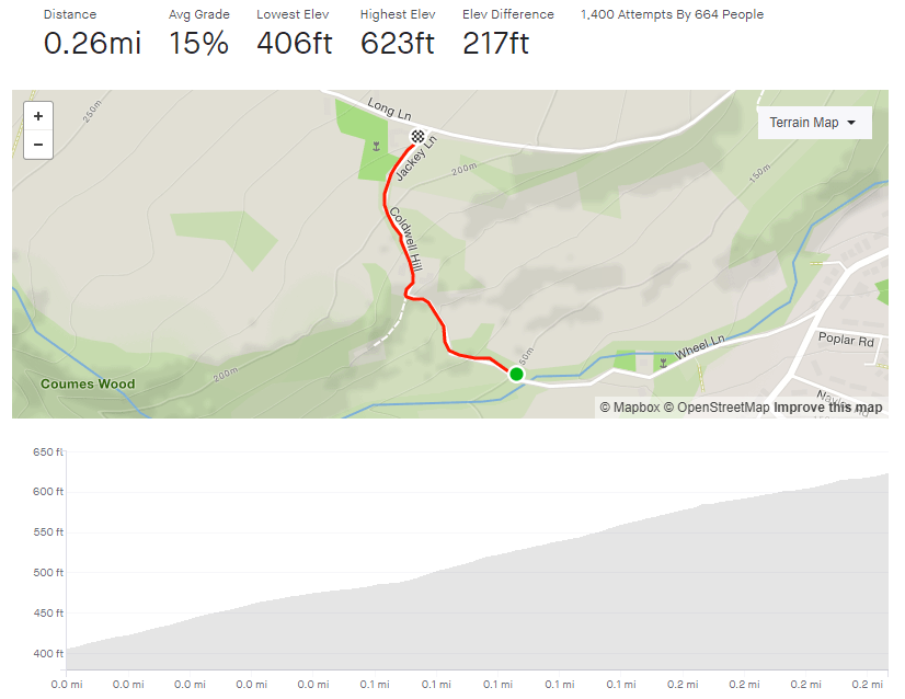
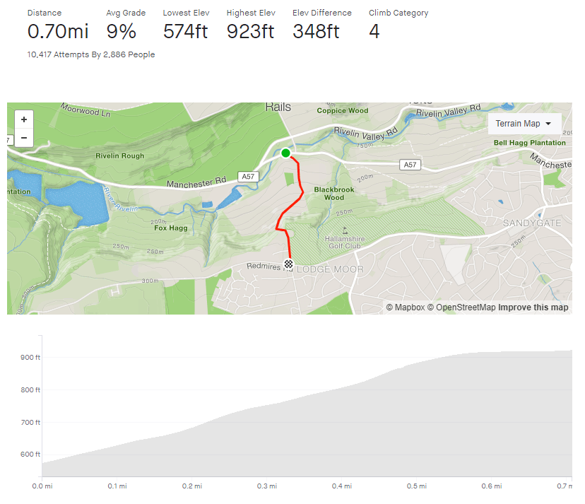
- Pea Royd Lane
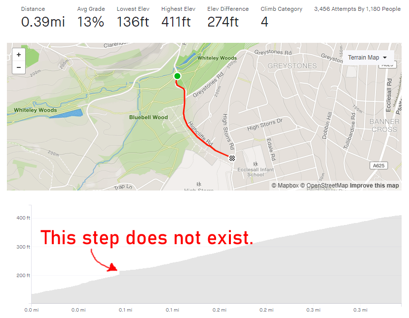
- Length: 0.72 miles
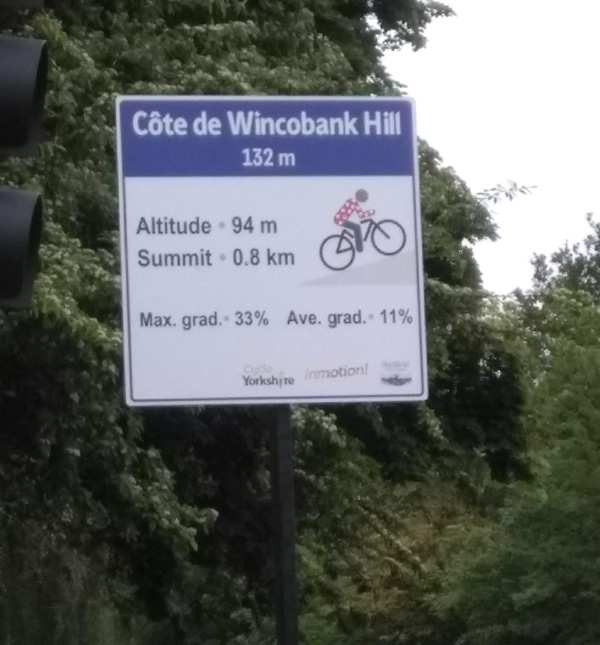
- Avg gradient: 12.5%
- Peak gradient: 17.1%
- Difficulty: 4/5
- Likelihood of encountering unpleasant motor-vehicles: 1/5
- Elevation gain: 476ft
- Strava

Is it really only 0.72 miles?

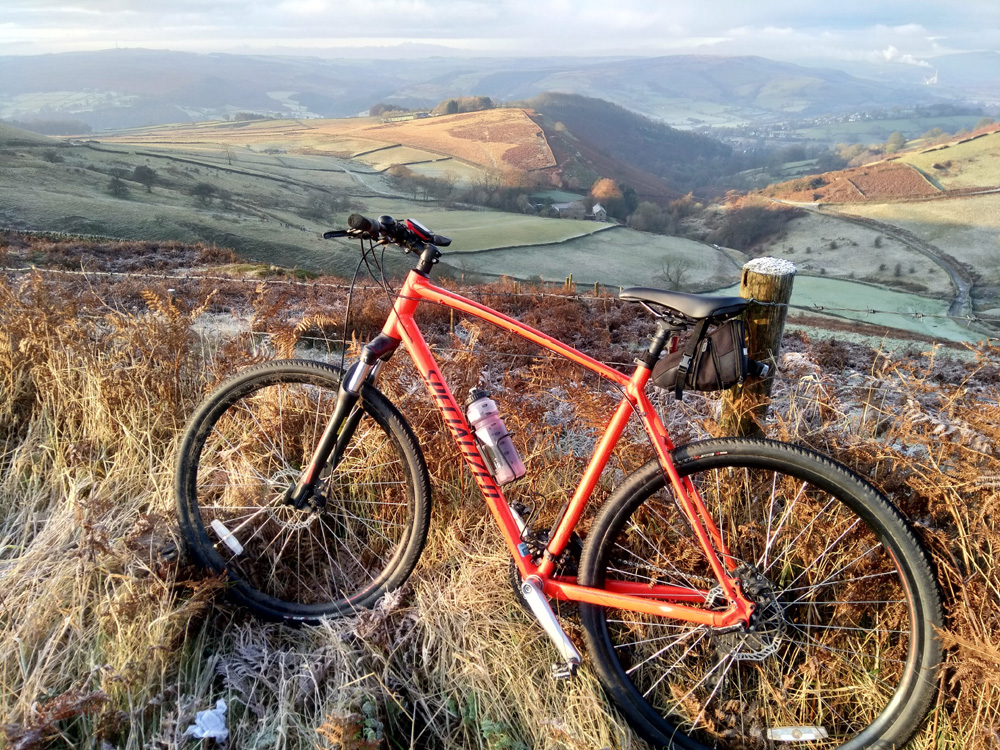
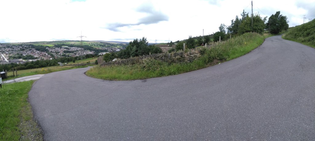
Pea Royd Lane is a fairly well known road, having been used for many hill climb races including the National Championships, so I’m sure there are far more authoritative and informative descriptions of this notorious cycle elsewhere on the internet but, since you’re here, make yourself comfortable.

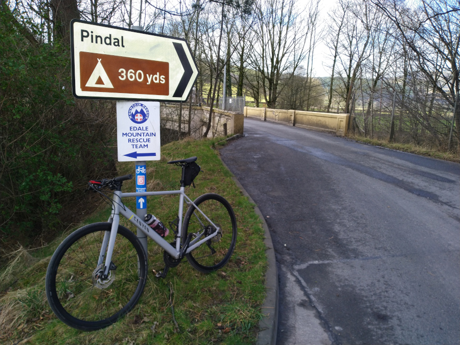
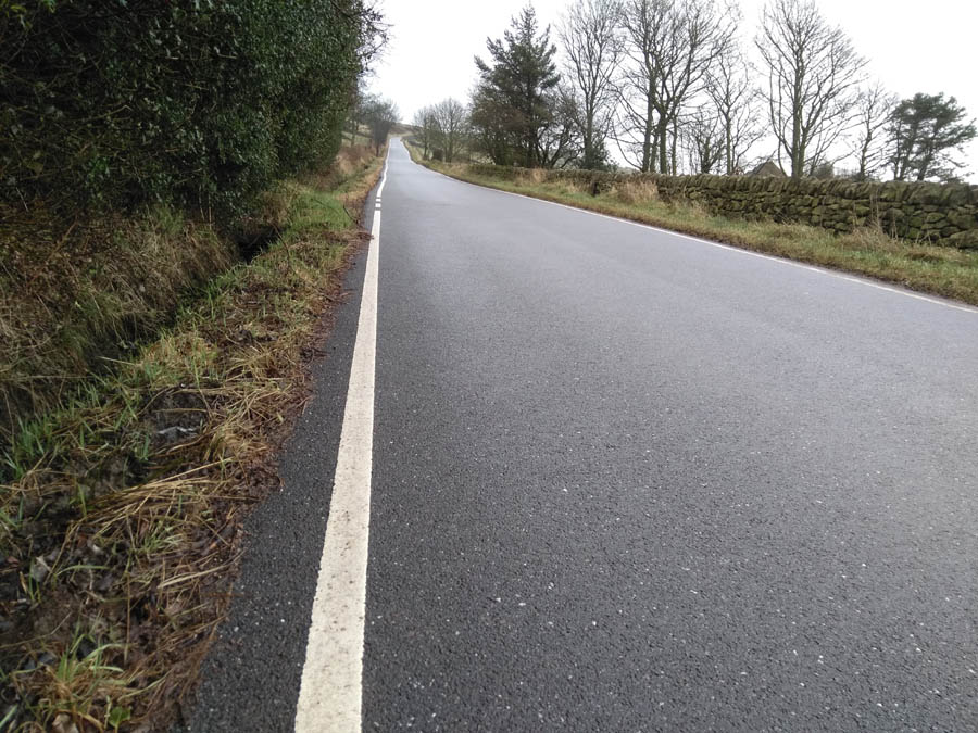
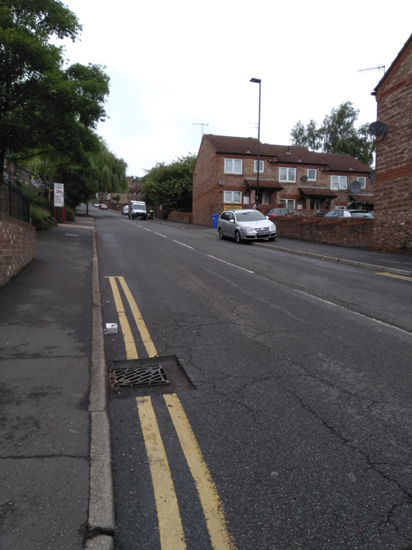
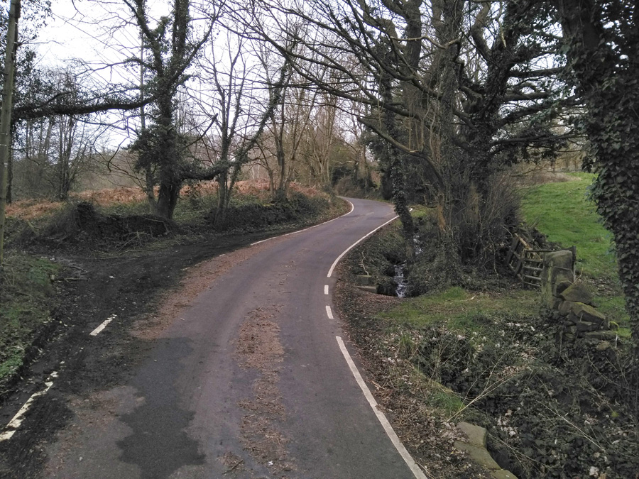
This climb begins before you even get to the start of Pea Royd Lane, requiring you to cycle for 0.2 miles up Hunshelf Road, at a not insignificant 7.7% average. Once you’re past the factories and the view begins to open out over Stocksbridge, you’ll see Croft House on your left and a switchback on your right: the beginning of Pea Royd Lane proper.

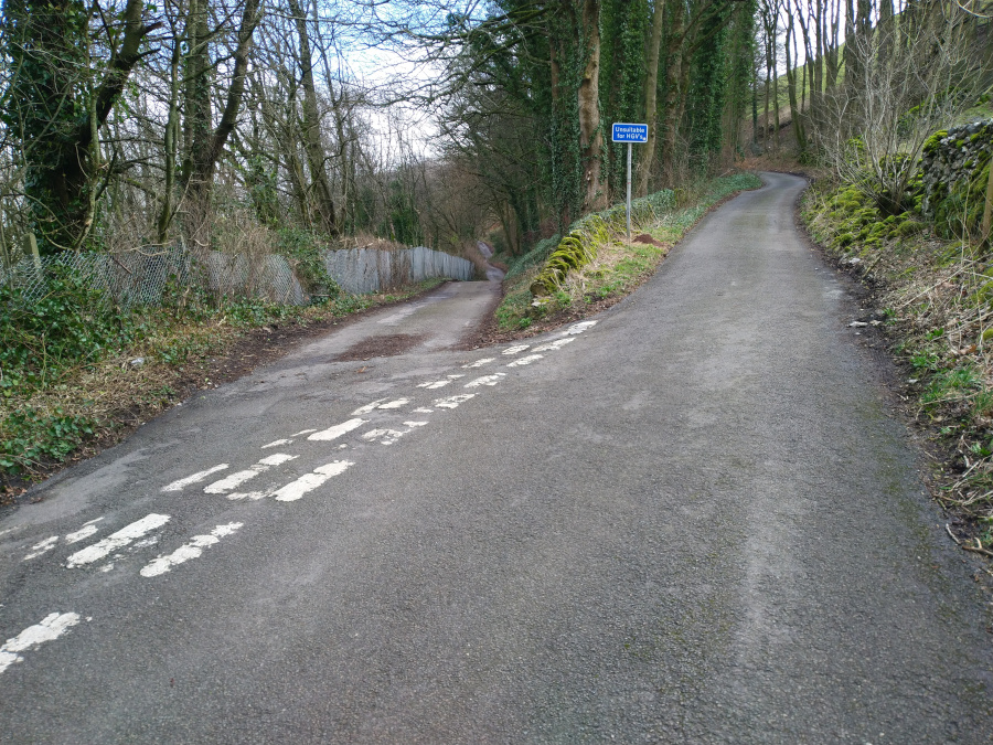
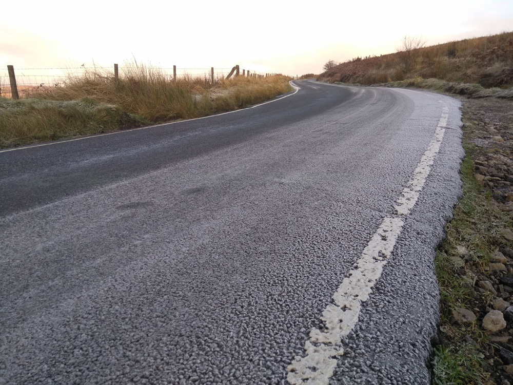
In Simon Warren’s 100 Greatest Cycling Climbs he says ‘the surface is terrible and gets worse’ but I think the road must have been resurfaced since then as it’s not too bad now, not that that makes the road any less steep. This section, up to the bridge, involves some of the steepest climbing, with the incline hovering around the upper teens, briefly breaking 20%.

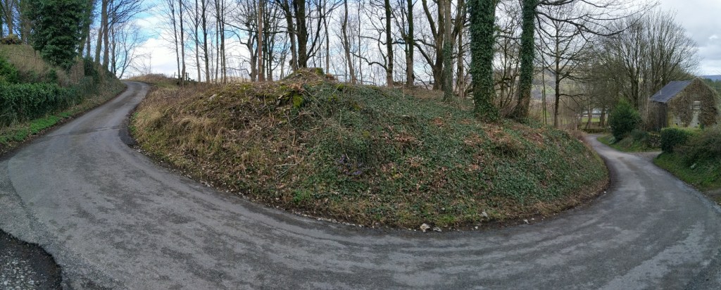
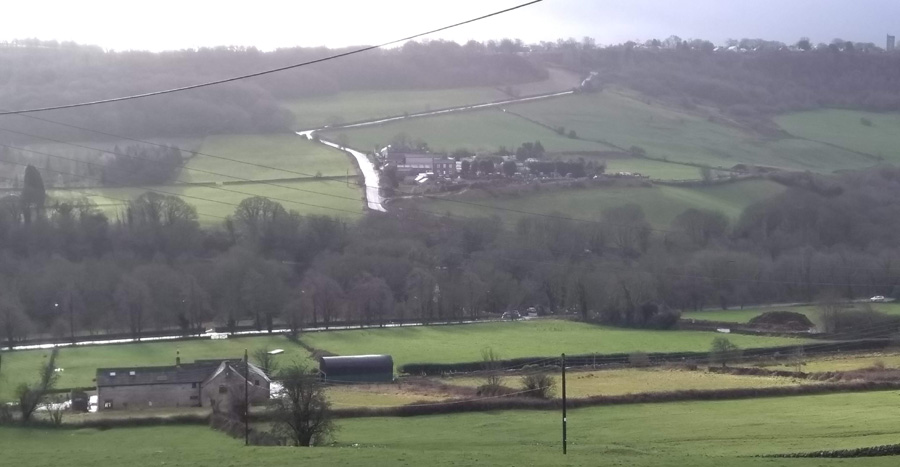
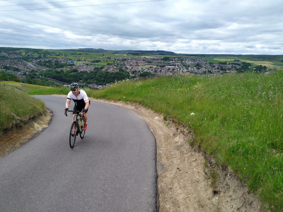
You’re given a short relent crossing the bridge but the hill is soon back to 15-16% on the approach to the next switchback. Take the bend as wide as you can (it is a quiet road but it’s not devoid of all traffic) and grab a look over your shoulder to appreciate how high you have come out of Stocksbridge. You’re now climbing at around 13-14% for 100 metres or so but this is the part I always find hardest as the end is still hiding from view.
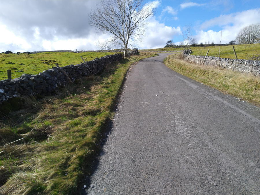
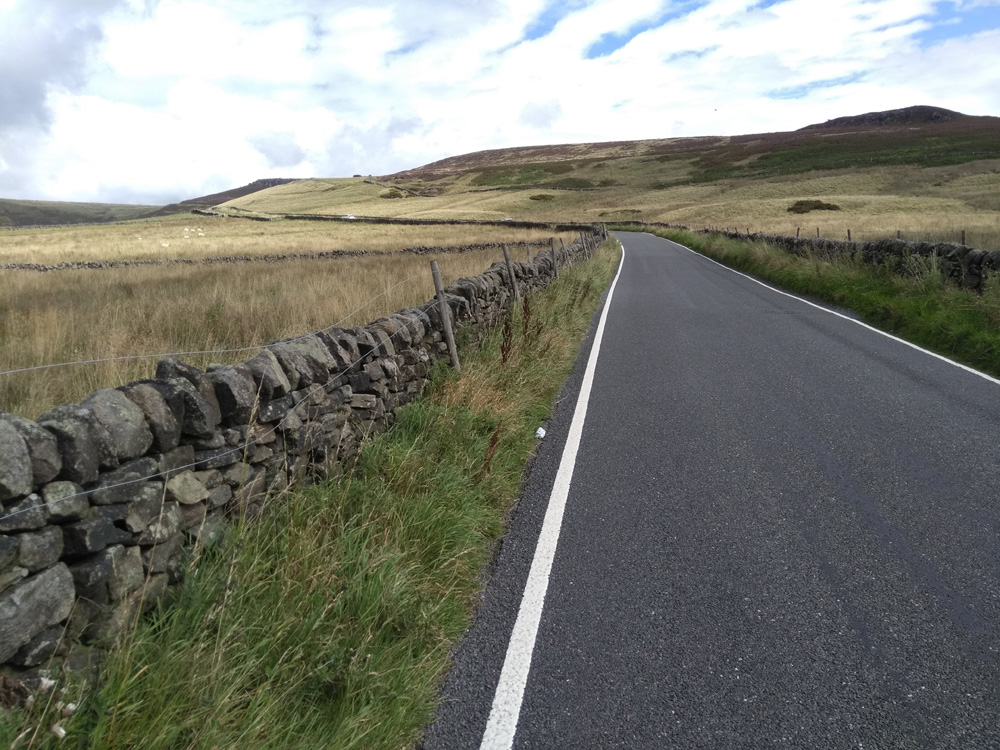
The road shallows slightly as you pass a farm before picking right back up as you finally approach the apex, signified by black rocks jutting out of the hillside and which is hiding just around the corner.
Surely it was longer than 0.72 miles, right?