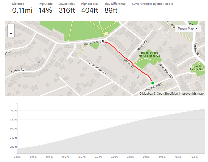
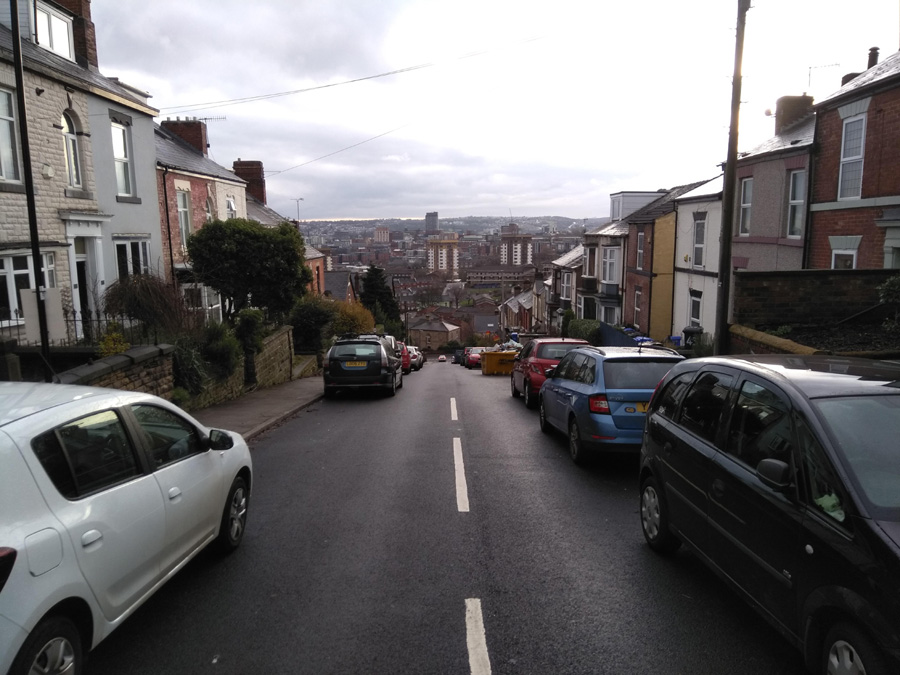
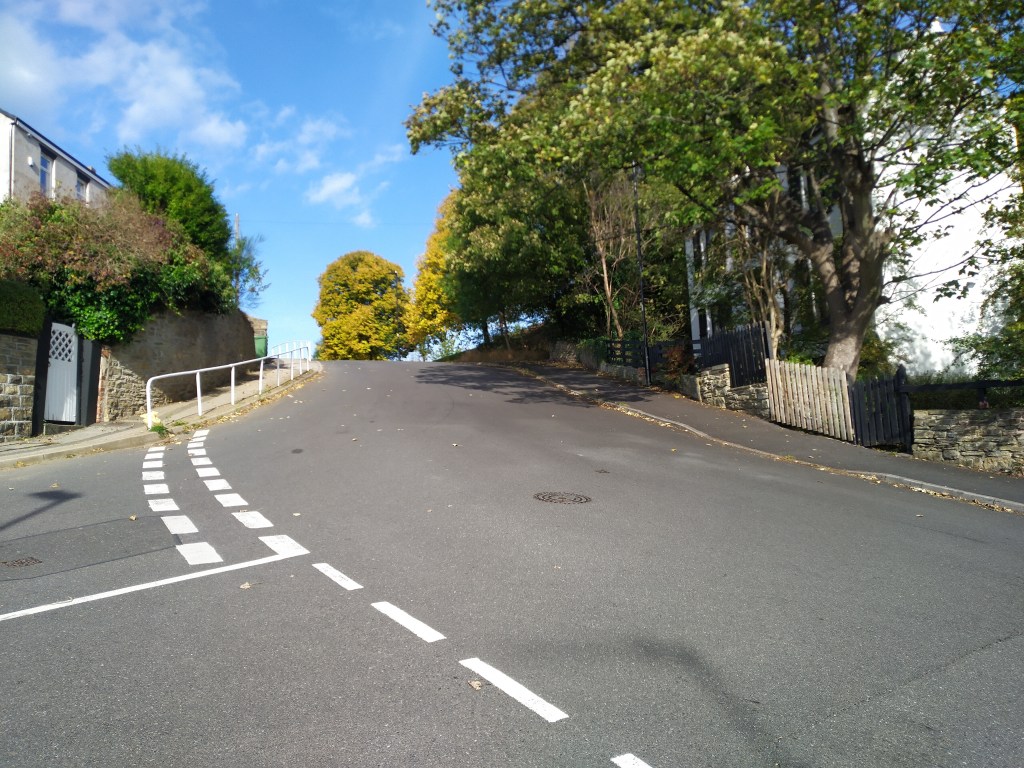
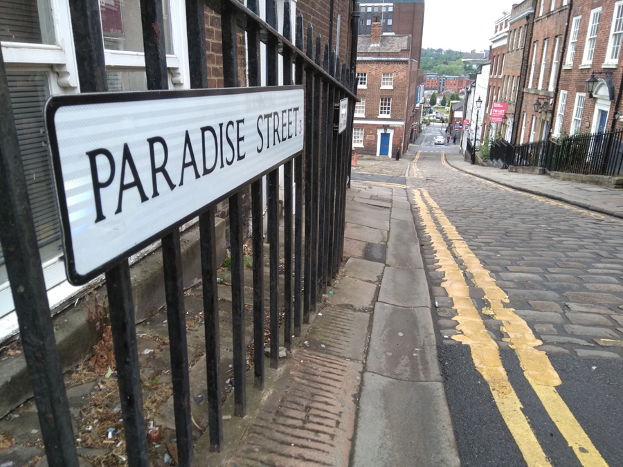
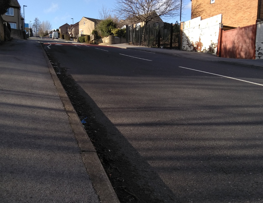
Look on any list of Sheffield’s steepest hills and Blake Street will be in there, so it was with some trepidation that I finally got around to tackling this one. Any road that has had a handrail for pedestrians, you know is going to be steep and Blake Street has one running its entire length.
You’ll feel the hill’s impact from the the moment you put your pedal down to begin the unwavering climb. However, you’ll want to make sure that you’re in the right gear from the off, not do what I did and end up losing any momentum I had as I attempted to drop into my lower gears too late while trying to start climbing. From there it’s just head down, breathe deep and push up as fast as you can. You’ll quickly understand why this road features in many hill climb races.
Blake Street is a sprint though, not a marathon and, despite its reputation, I found it easier than I was expecting. Simply put, it’s not very long, so it’s over relatively quickly. I guess it’s a far different story if you’re a hill climb racer but if, like me, you just want to get to the top without worrying too much about times, it is perfectly doable. Definitely one to tick off a list but if you’re looking for more of a challenge, give Hagg Hill a go: similar in character but with a higher gradient and slightly longer.
Likelihood of encountering unpleasant motor-vehicles: 2/5
Strava (Strava gets the hill’s topography incorrect. It appears as if there is a far longer flat stretch between the two climbs than there really is).
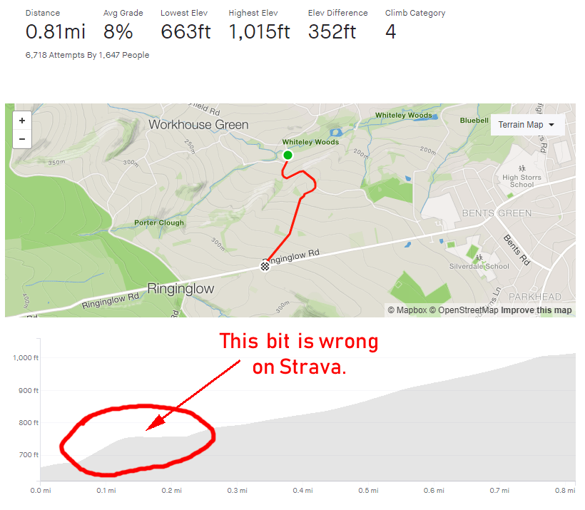
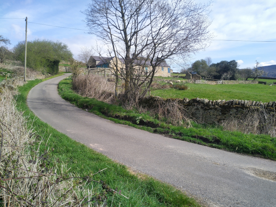
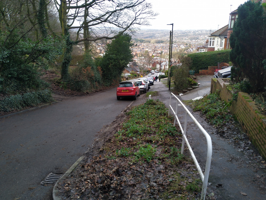
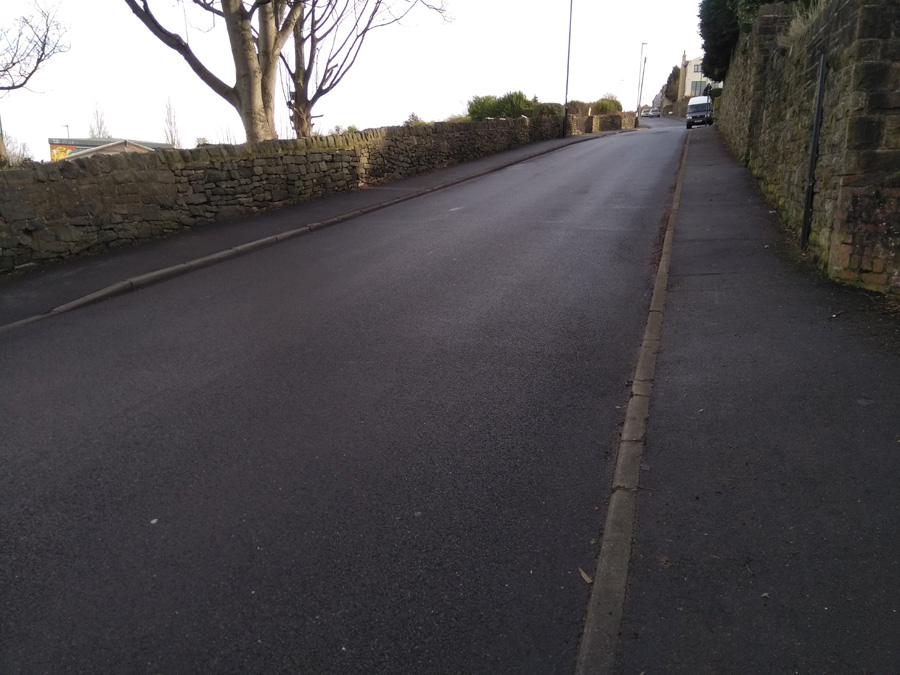
Woodcliffe and Hangram Lane is another route out of the suburbs to the edge of the Peak District but I was surprised to learn that it’s only 0.8 miles, as it feels much longer. At its peak, you’ll join Ringinglow Road, about half-way up. However, that hill will seem like a walk in the park once you’ve climbed this one.
The hill begins gently as the road crosses the Porter Brook but immediately picks up as it passes Clough Lane and curves around to the left. This is the hardest part of the climb and where the gradient quickly slips into double figures. Do your best to dig in here, as this short straight section maintains its steepness until the next corner where the gradient touches the low 20s.
There is a brief blast of flat terrain before you turn right, onto Hangram Lane, where the road begins to climb once more. You’ll pass a couple of houses before the the trees begin to drop away, revealing open farmland on either side.
Even though you’ve done the steepest bit and here the road is only averaging 7-9%, I always find this section more challenging as it feels more relentless. Once you’re past the farm shop though, the end is in sight and you’ll shortly reach Ringinglow Road, where you can head downhill into Sheffield or upwards out into the Peak District.
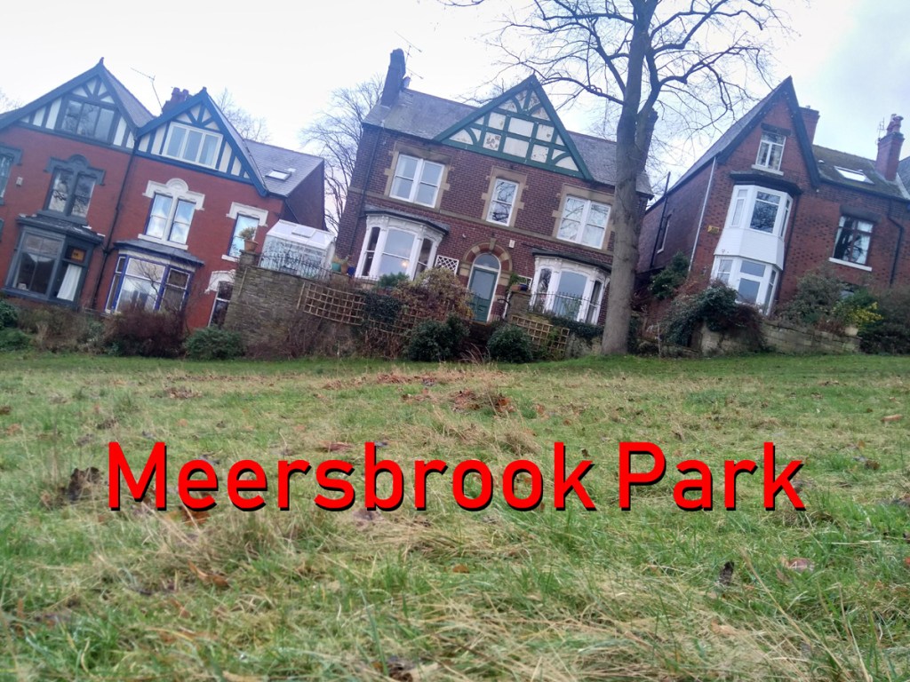
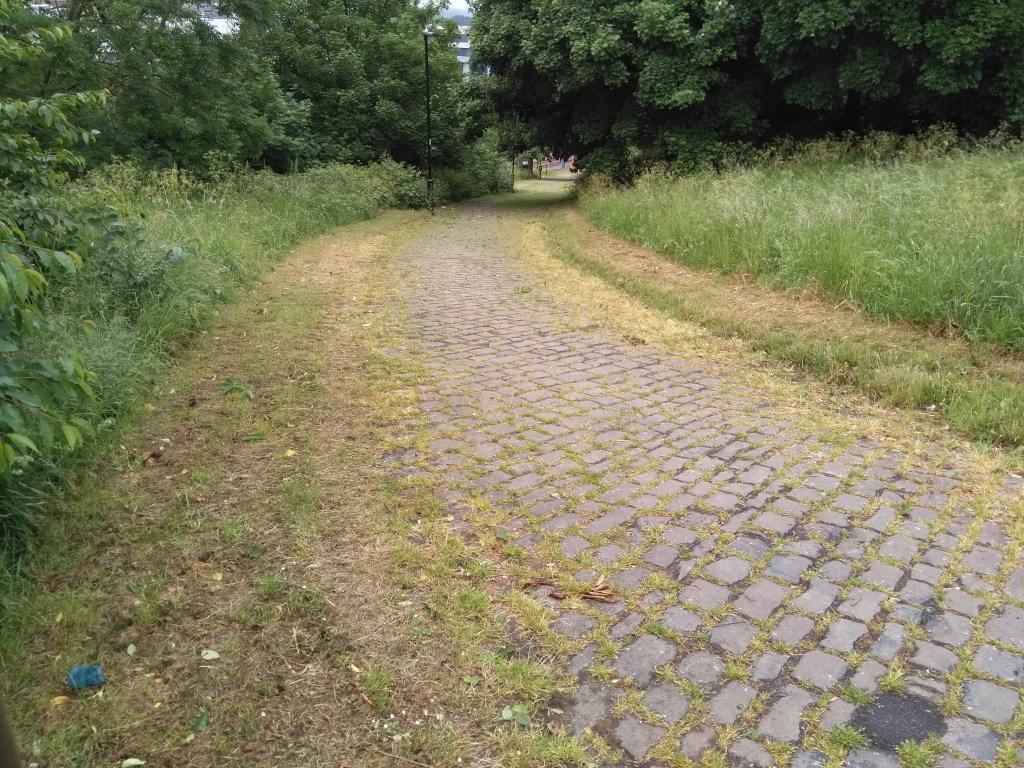
A very hilly park, a couple of miles south of the city centre. My introduction to Meersbrook Park was cycling downhill through it at great speed. It made me wonder what it would be like to tackle it in the opposite direction. There are several routes – all looking steep – through the park but, for the sake of this, I did (with some extension) the Strava segment labelled ‘Meersbrook Grind’.
You’ll enter the park from the direction of Brooklyn Road and the house with the attractive bird mural by Faunagraphic. The path starts easily enough as you pass the tennis courts on your right. Looking left, through the trees, you can see what you’re about to tackle. Follow the path and begin the climb in earnest. It’s here the the Strava segment begins.
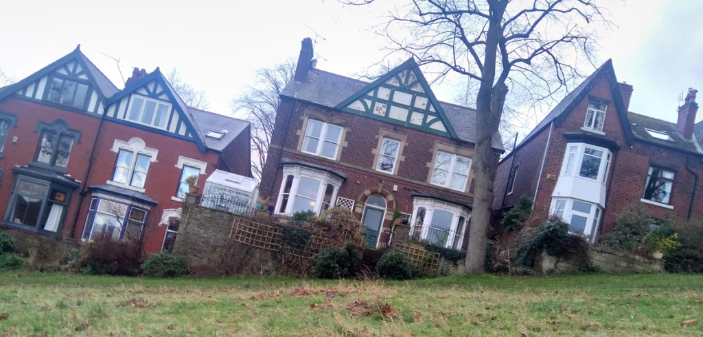
The path is smooth with a gentle curve and you can pretty much see where you’re headed the whole time but it is a bit unrelenting, hitting the peak gradients about halfway up. Different sources disagree about the steepest point of the hill, varying from 17% to almost 22%. Whatever the reality, you get some idea of how steep the hill is from the angle of the houses in the photo.
If you can, glance behind you, as you climb higher and higher you get an ever more impressive panorama of Sheffield. Eventually you’ll reach small play trail as the hill begins to peter out. Shortly after, you’ll reach the 16th century Bishops House and the top of Meersbrook Park. A short but sweet Sheffield hill climb.
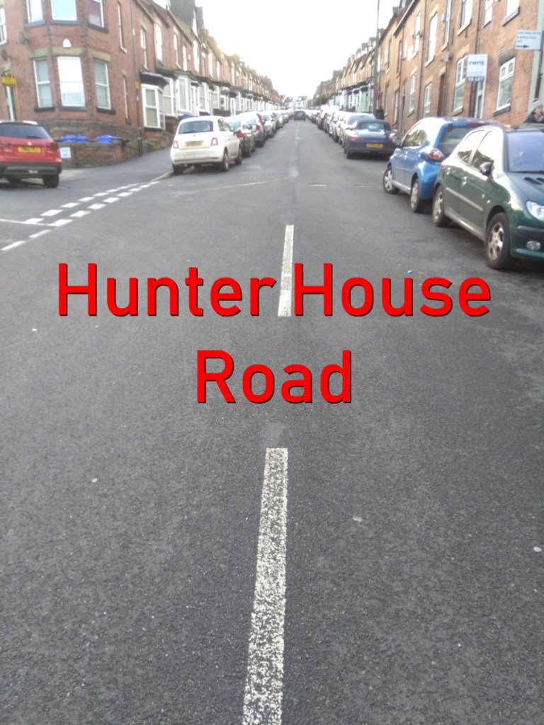
Featuring in one of the opening scenes of the Jodie Whittaker’s first Dr Who episode, Hunter House Road is a fairly quiet residential road, just off Hunters Bar, an area immortalised by the Arctic Monkeys on Fake Tales of San Francisco. Your biggest challenge here are cars coming downhill, as both sides of the road are always parked up, leaving you little room to manoeuvre without losing your momentum.
The climb begins immediately, starting at 10% at the junction with Pinner Road, and the steepness steadily increases as you climb. You’ll hit a peak of 16.2% at house number 60, which is marked by a garage set back from the road. You’re about two thirds of the way up the hill by now and beginning to feel the strain.
Hunter House Road in Dr Who: The Woman Who Fell to Earth BBC
Continue straight up until the road bends round to the left, at what looks like the hill’s apex. However, looks can be deceiving and you’ll find that the climb continues round the corner. A short distance more and the gradient drastically eases off just as you reach the Hunter Court flats.
Likelihood of encountering unpleasant motor-vehicles: 2/5
Strava: So short that it doesn’t even have its own segment. How sad.
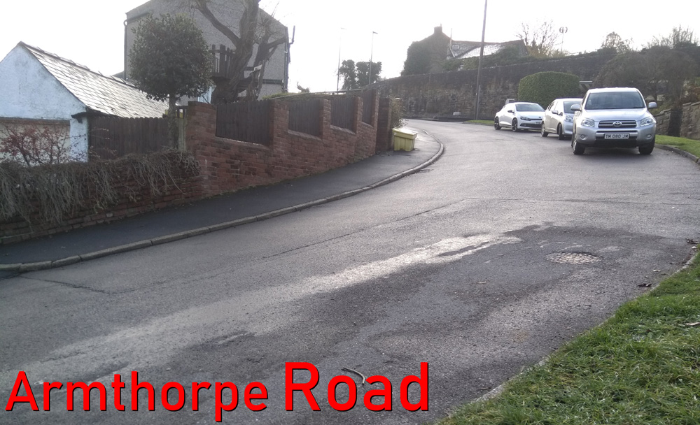
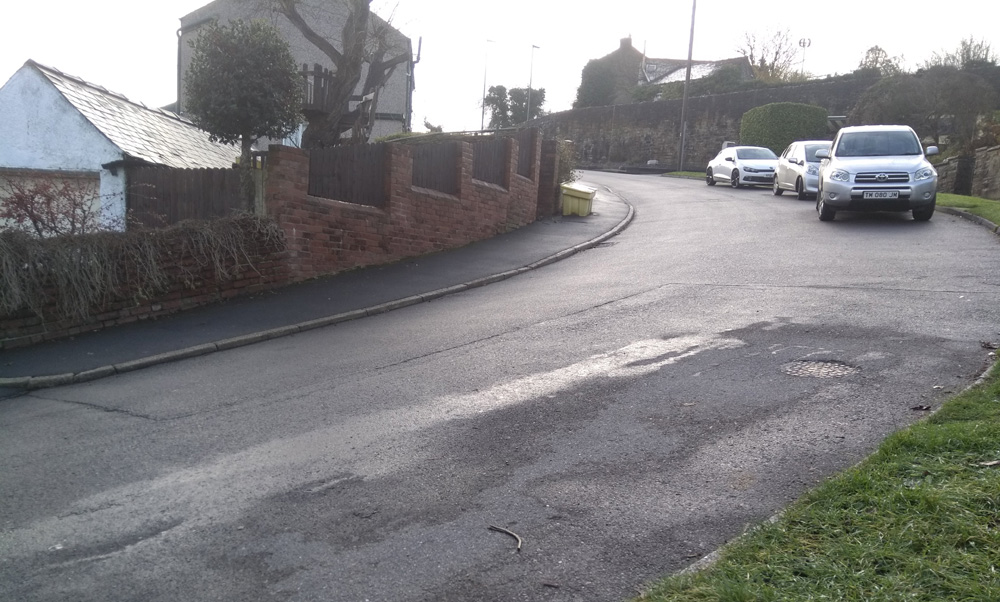
Armthorpe Road is a fairly innocuous hill climb in that the only reason that you’d ever find it is if you know someone who lives there. The road itself just loops around, beginning and ending on Hangingwater Road but it’s a short sharp shock. I once did a long and hilly Peak District ride, thought I’d do Armthorpe Road as I was passing on my way home, and it turned out to be the most challenging of the day.
Start by the red house on the corner and head full pelt into this quiet, residential street. It’s not a long hill so you don’t need to keep any reserves but you’ll find that the incline picks up immediately, hitting 9.4% at the junction with Bramwith Road. This is where the hill gets tough, though.
The road bends sharply to the left and, ideally, you’d be able to move over to the right hand side to reduce the impact of the 11.6% turn but it’s a blind bend and you’ve no idea if there’s a car coming so you’ll need to stay left. Once you’re around that corner the gradient eases off as a high stone wall appears on your right. Catch your breath and roll back round to rejoin Hangingwater Road.
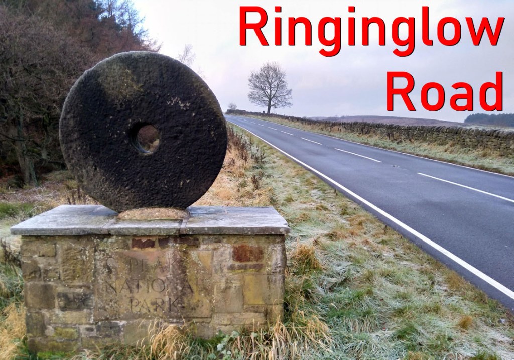
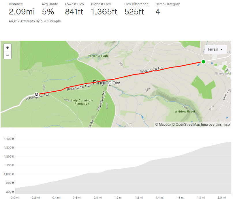
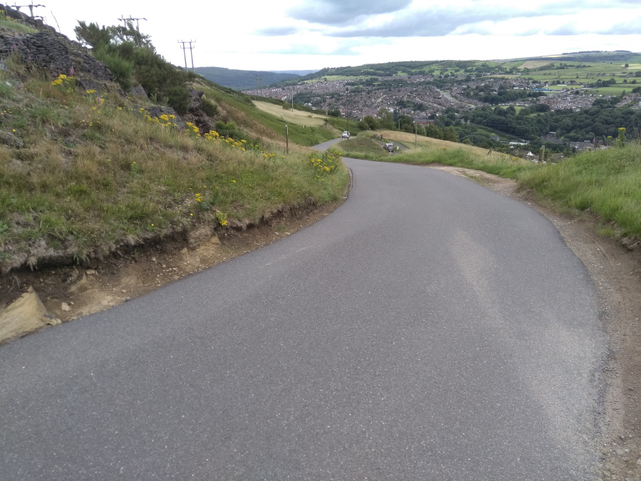
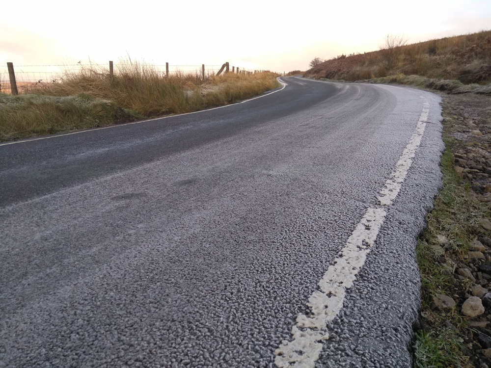
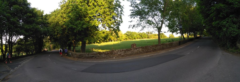
Ringinglow Road is a steady gateway into the Peak District. Leaving the suburbs of Bents Green behind, you’ll soon find yourself atop the world, on the edge of some of the most beautiful scenery in the country. While Ringinglow Road can feel a bit of a slog, with it’s arrow straight direction, each turn of the crank gets you closer to some stunning countryside (and extremely fun descents). Keep that in mind and you’ll be at the top in no time.
Starting at the junction of Common Lane, Ringinglow Road stretches ahead, well into the distance. Never appearing too steep, it does have a couple of sneaky lumps waiting for you. The hill’s first, tree-lined, half mile isn’t too strenuous, rarely touching 5% but just as the trees give way to reveal rolling countryside and you pass some farmhouses, a couple of cheeky spikes appear doing their best to pull up the average gradient.
The road briefly flattens out at Hangram Lane (which is a speedy descent) giving you a moment to recharge your legs and power on to the one mile mark and The Norfolk Arms pub. Ignore the turnings and head straight on. Once you’ve tackled a short 10.9% section you’ll soon be crossing into the Peak Distrct, marked by an iconic millstone. From here it’s a steady slog upwards with the Lady Cannings Plantation on your left and ever more sprawling moorland on your right. Shortly passing the byway to Houndkirk Moor (and Lady Cannings’ MTB trails) and you’re at the top of the segment.
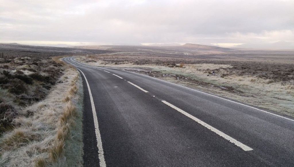
A little further on and you are presented with the glorious sight of Stanage Edge (above) in the distance and a couple of very enjoyable options downhill into Hathersage.
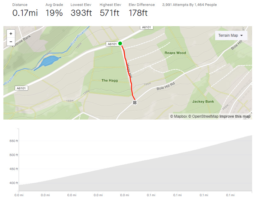
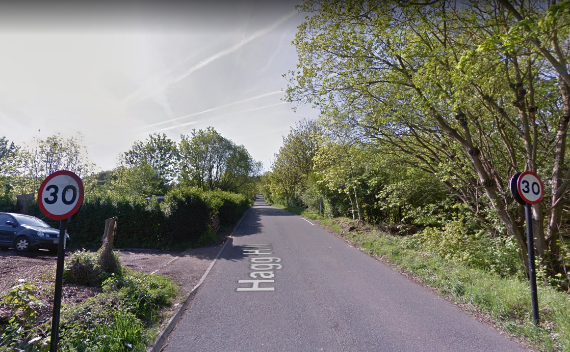
Hagg Hill isn’t one of the headline climbs around Sheffield and the Peak District but it was my first introduction to Sheffield’s hills when I moved north in 2011. I used to struggle to get up Hagg Hill in my car, it’s even more challenging on a bike.
Hagg Hill is not a long climb at all but it is very steep and unforgiving from the start. To date, I’ve only ridden it four times and only once managed to do so without stopping. It also features as one of the climbs in the annual Magnificent 7 hill climb competition.
You need to turn onto Hagg Hill from Rivelin Road, a blind 90 degree turn, which results in you losing any speed you may have had. From there on it’s just up, up, up. It’s only real redemptive point is that there’s no hidden summit, you can see the top of the hill from the outset. Beginning at a relatively forgiving 14% you just need to drop into a low gear and grind, although you’d be wise to hold a gear in the bank for when the road peaks out at 24%, towards the end.
The gradient continues to increase as you cycle past the allotments, before there is a tiny (so small it doesn’t even register on the Strava segment) relent about 3/4 of the way up. Use that brief respite to catch your breath before tackling the final spike of 24% and reaching Bole Hill Road.
Well done, you’ve just done one of the hardest climbs in Sheffield!
Any sense of achievement, however, is slightly tempered by the fact that, if you’re heading towards Crosspool, you’ve actually only done about a third of the climbing. We’ll save Bole Hill Road / Back Lane for another time though.
A compendium of Sheffield cycling hill climbs in both the city and the south Peak District. Some will be hard, some will be easy, some will be beautiful and some will be dull but they’ll all take you up a hill.