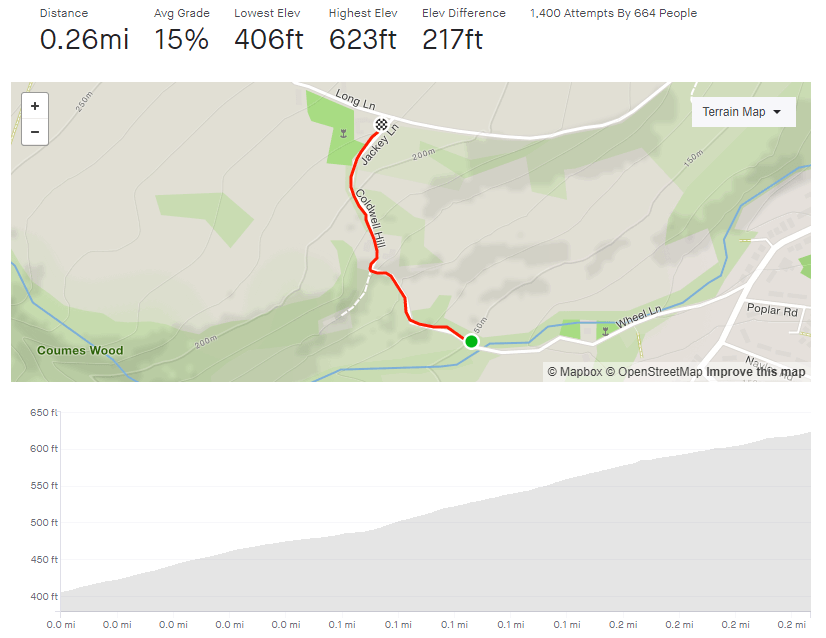
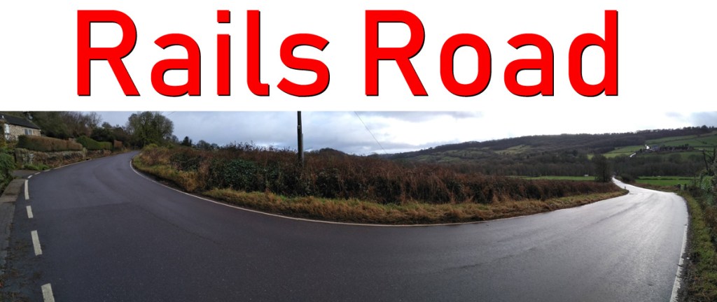
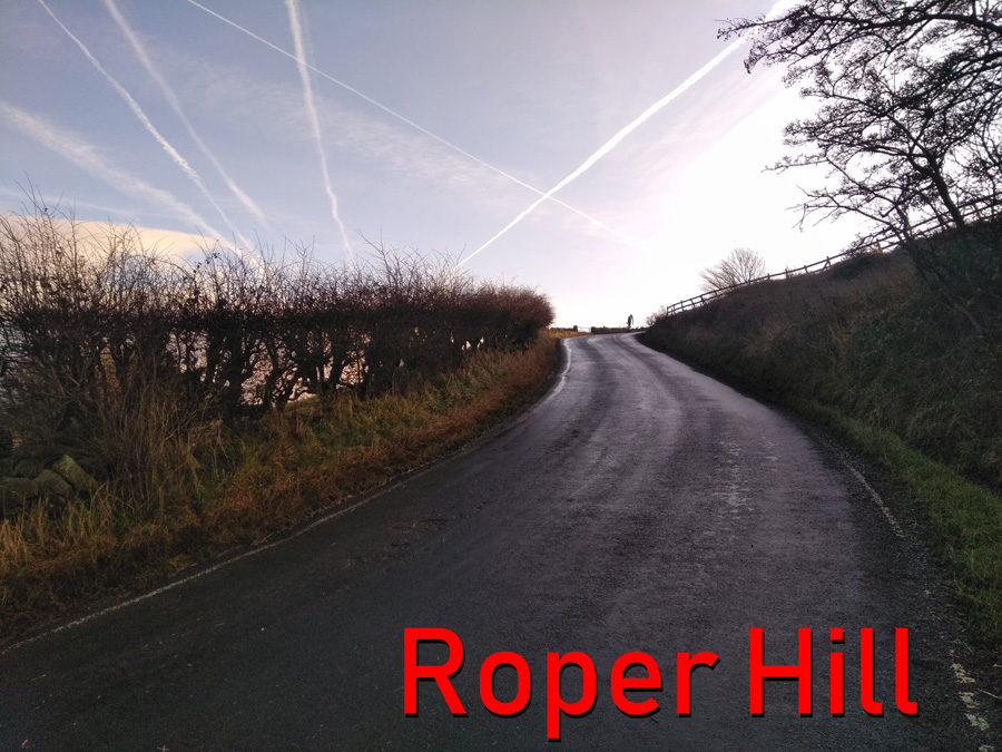
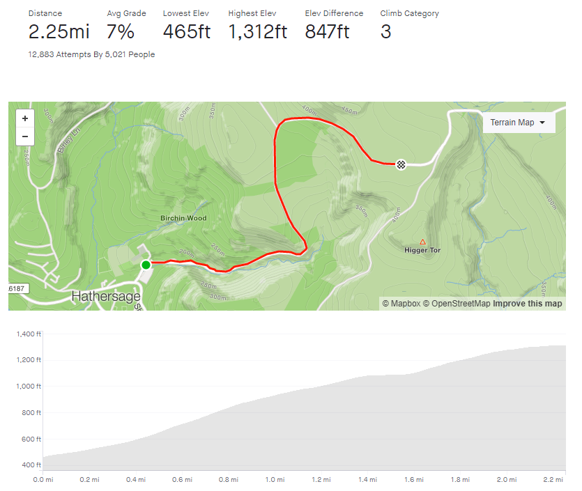
- Douse Croft Lane to the valley top
- Length: 1.12 miles
- Avg gradient: 6% Peak gradient: 14%
- Difficulty: 3/5
- Likelihood of encountering unpleasant motor-vehicles: 1/5
- Elevation gain: 377 ft
- Strava
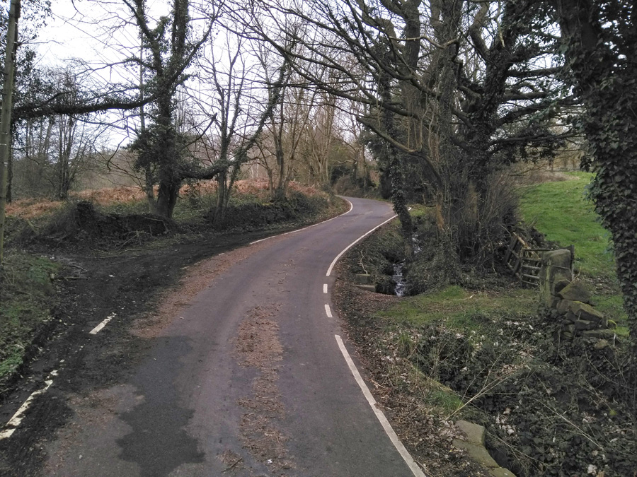
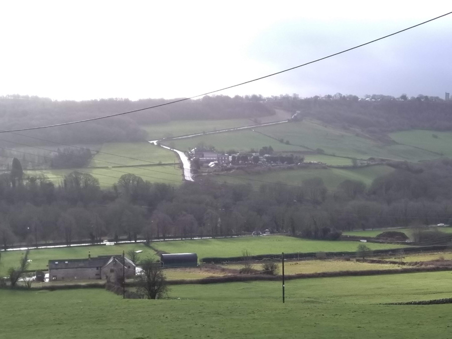
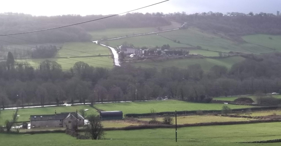
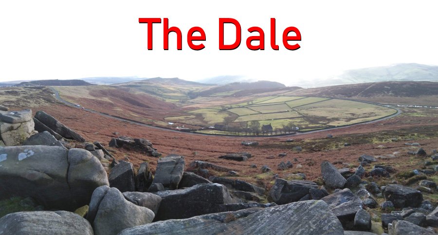
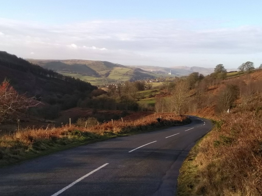
Situated out in the lovely Mayfield Valley, this hill is snuggled out amongst a wealth of winding country hills. It’s an area well worth exploring and never too far from civilisation.

You’ll approach this climb from either Brown Hills Lane or Harrison Lane, both of which send you down Gorse Lane. It’s quite a speedy drop with a sharp, blind bend just before you hit the climb. For safety’s sake you’ll need to pull on the brakes which unfortunately will cost you some momentum for the start of the climb.
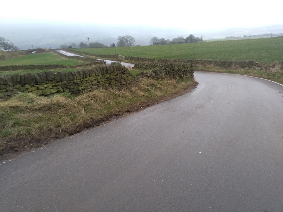
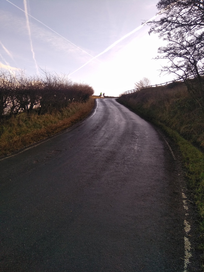
One of the consolations of this hill is that the toughest parts are out of the way first, including the immediate sharp bend to the right at 14%. Once you’re around that, you can see the next bend approaching but the gradient only drops a few points here, and surprisingly, shows up as less steep around the switchback. It certainly doesn’t feel easier.

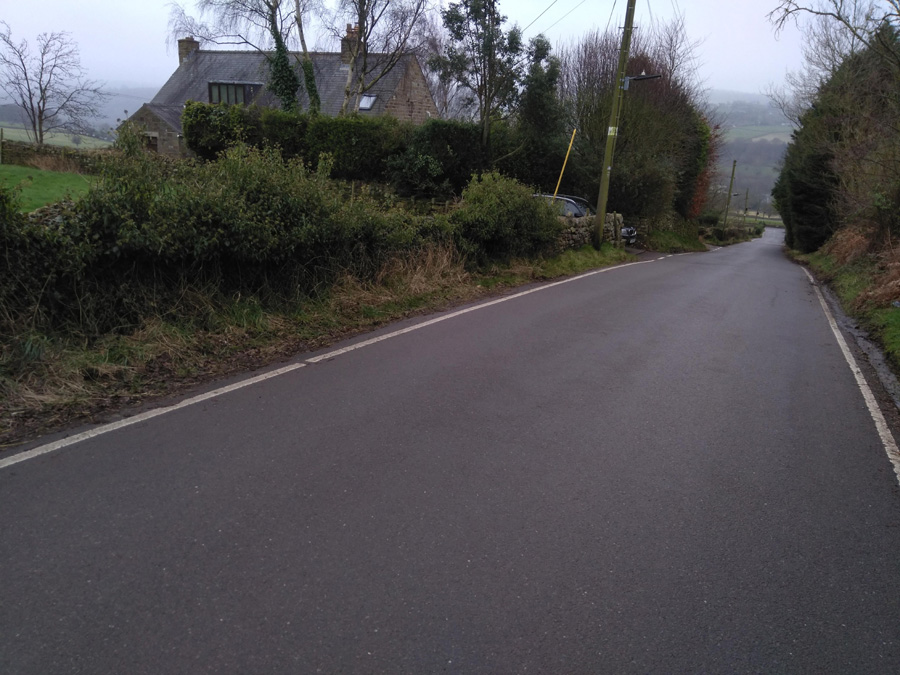
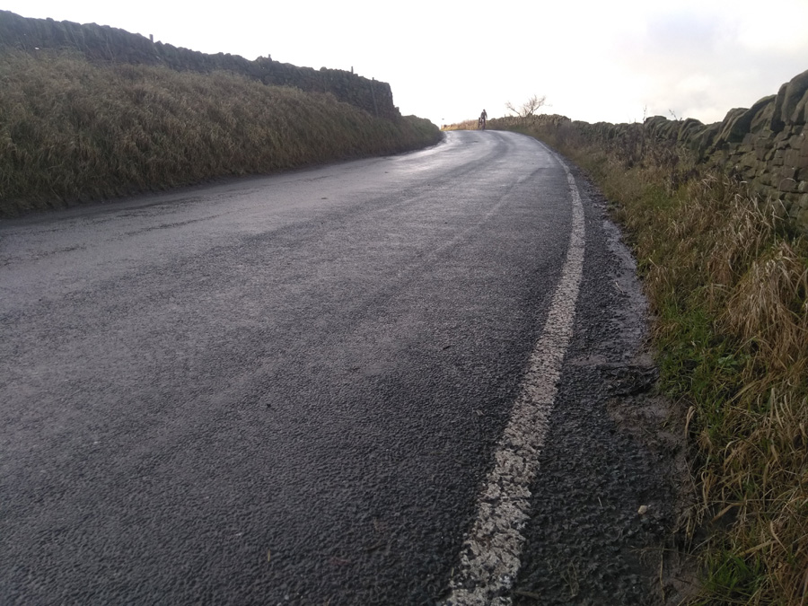
Wiggle your way up, as the Mayfield Valley opens up on your left, and around the next right hand bend, with the gradient remaining in the low double figures as you pass Harrop Lane on the left. You’ve now got a steady 6-7% climb for about 0.3 miles, returning to double figures as you approach the cottage and the junction to Fulwood Lane, where you turn right.

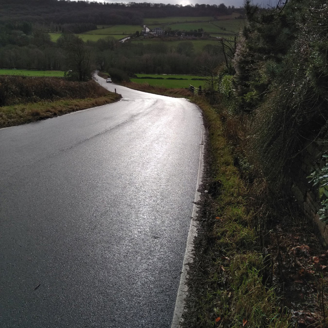
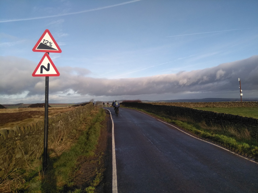
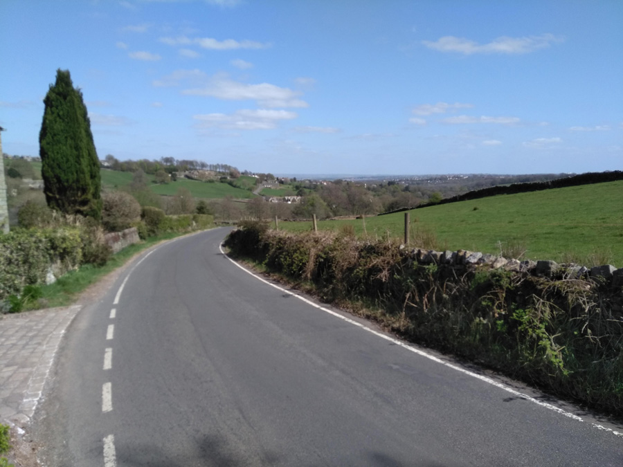
The hard bit is done now but it’s worth carrying on. The road floats around the low single figures and only once briefly touches 6% (it’s this section that has reduced the average gradient of the segment) but the views over the valley towards Sheffield are lovely. Once you’re reached the top you’ll be greeted with one of my favourite vistas of Sheffield.