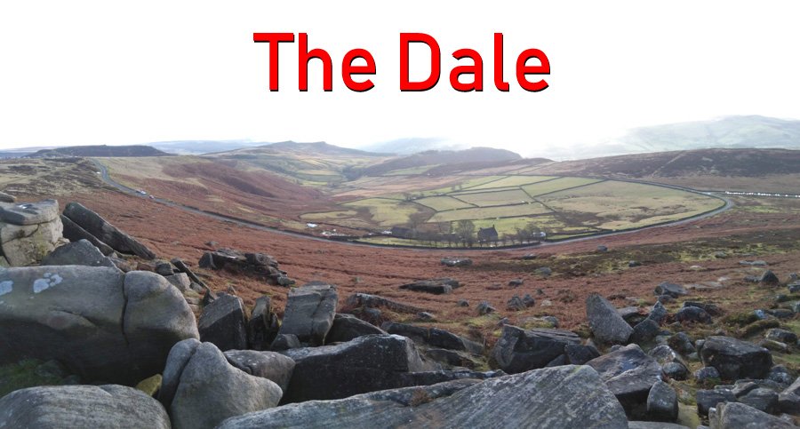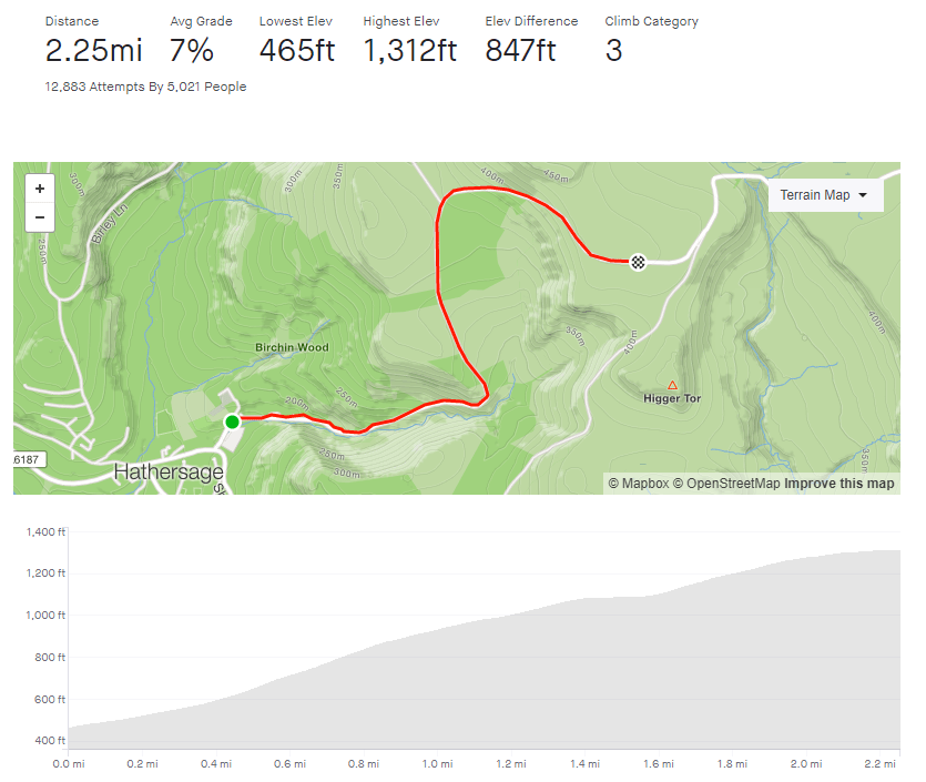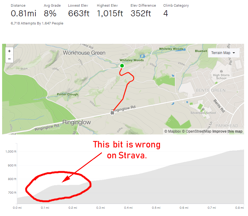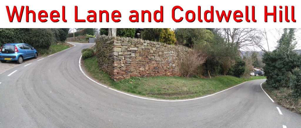
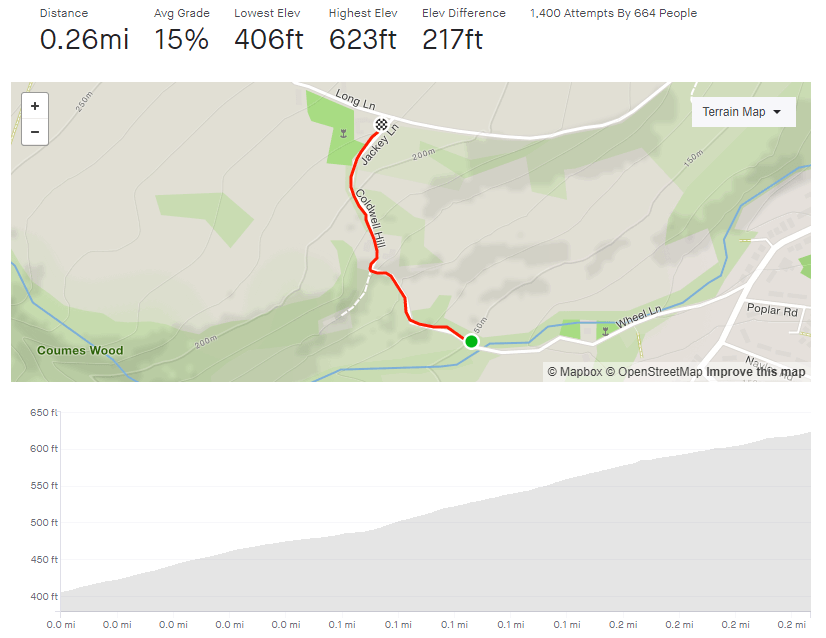
- Wheel Lane & Coldwell Hill
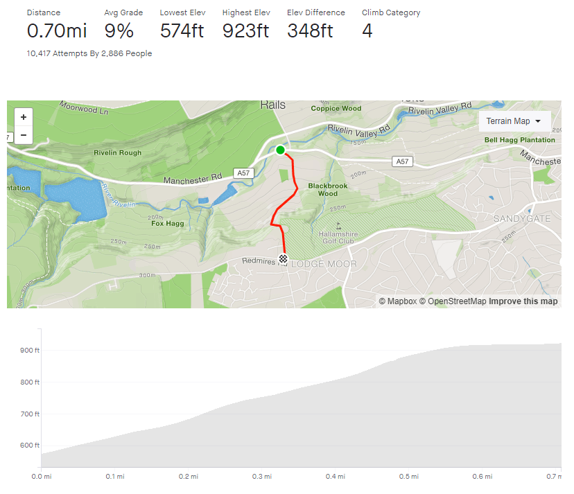
- Length: 0.26 miles
- Avg gradient: 15.4% Peak gradient: 17.7%
- Difficulty: 4/5
- Likelihood of encountering unpleasant motor-vehicles: 1/5
- Elevation gain: 217 ft
- Strava
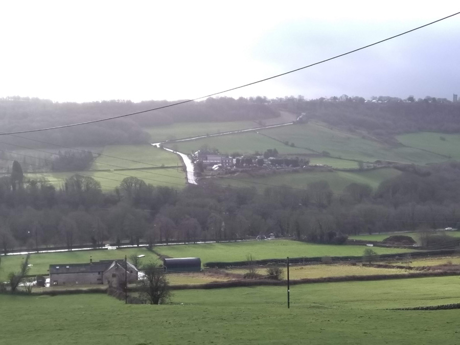
A hidden gem of a hill climb, tucked away in the hills outside Oughtibridge. It’s just over a quarter of a mile long but look how close the average and peak gradients are. That tells you that it’s a very unwavering climb all the way to the top. And your reward for getting there? Another hill.
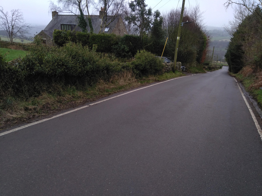
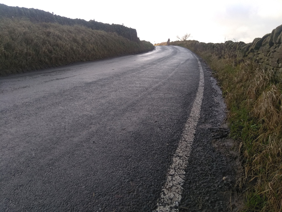
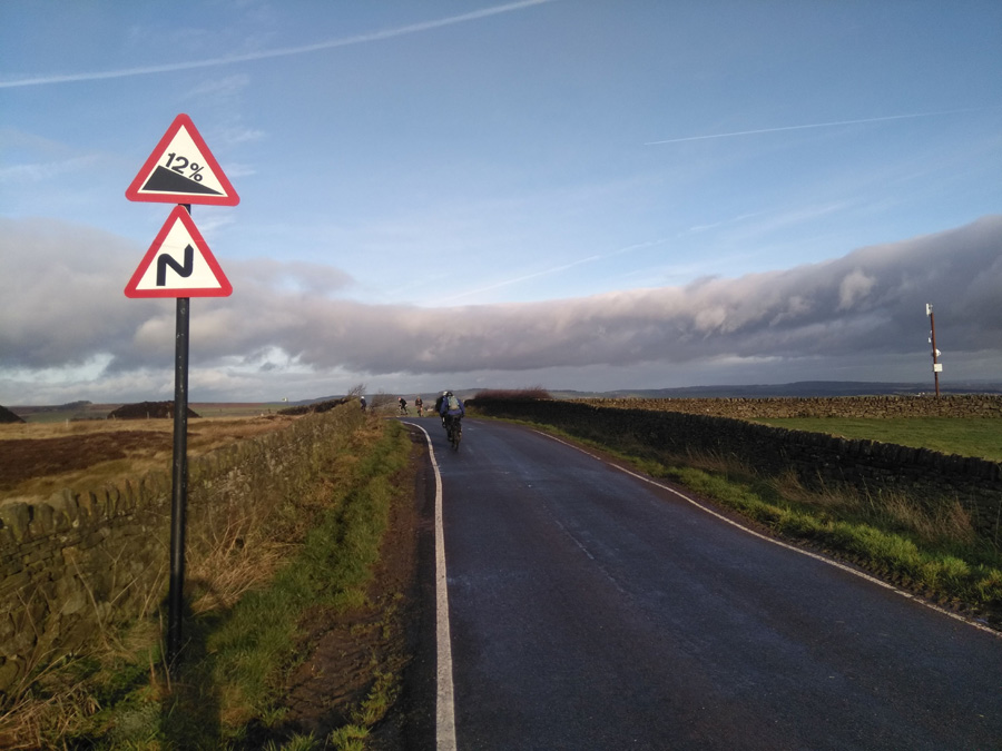
As soon as you pass over the brook (which is liable to flooding in rainy periods) the hill begins with a little weave and a gradient of around 17%. Climb up this until the road makes a sharp right turn and a sign tells you that you’re now on Coldwell Hill. You’ll pass the first of the houses and a grit bin on your right, which makes you wonder how brave you’d have to be to drive up here in icy conditions. It’s hard to believe but, at about 9%, this is the flattest section of the climb.
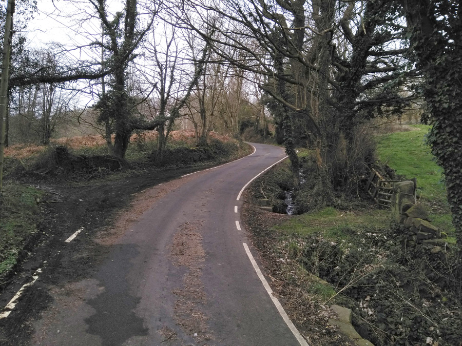
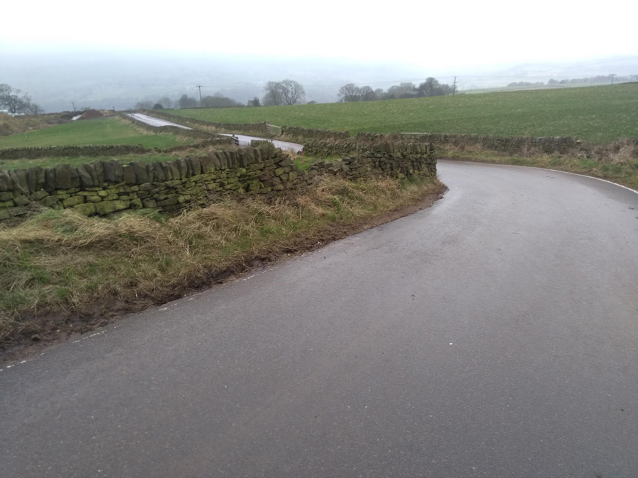
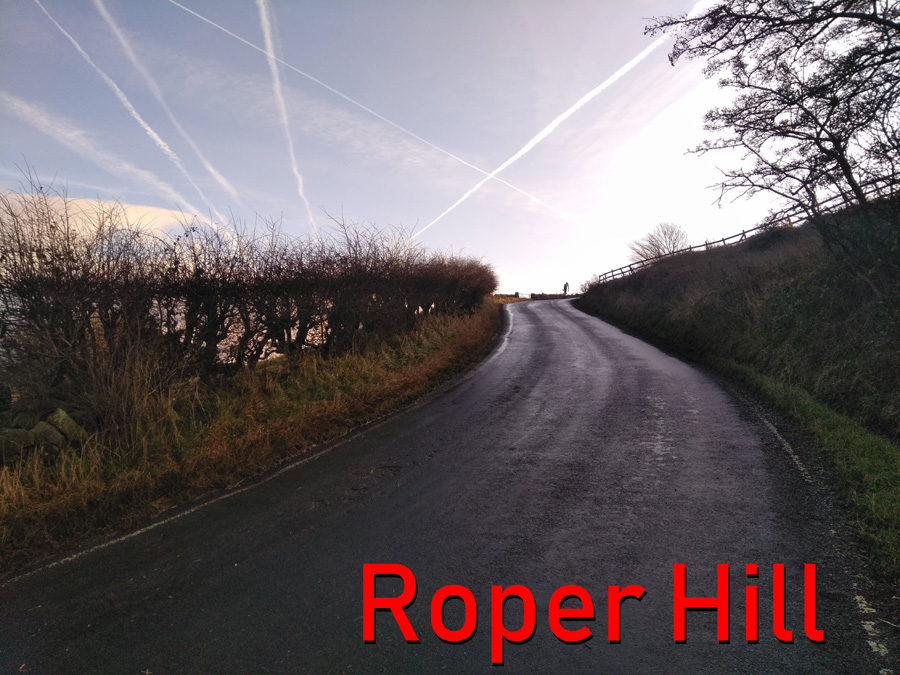
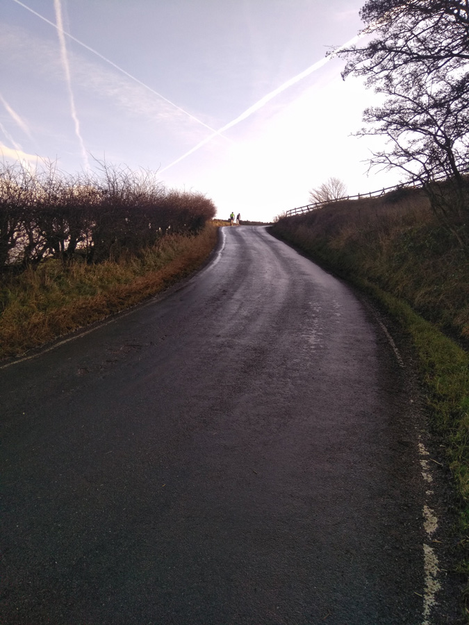
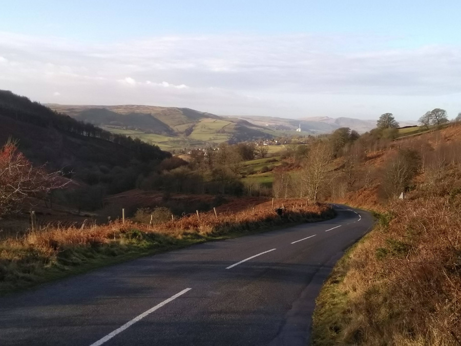
That’s soon forgotten however, as you wind round a dogleg bend with the steepest incline of the hill. As you curve past the row of quaint cottages you’ll be thinking that this must be it but you’re only about half way up. You’ve got a slightly straighter climb now but still averaging 15%. Shortly, the climb takes another sweep right and after a brief section of tree-lined road, another sign tells you that you’ve joined Jackey Lane for the final 600 ft.

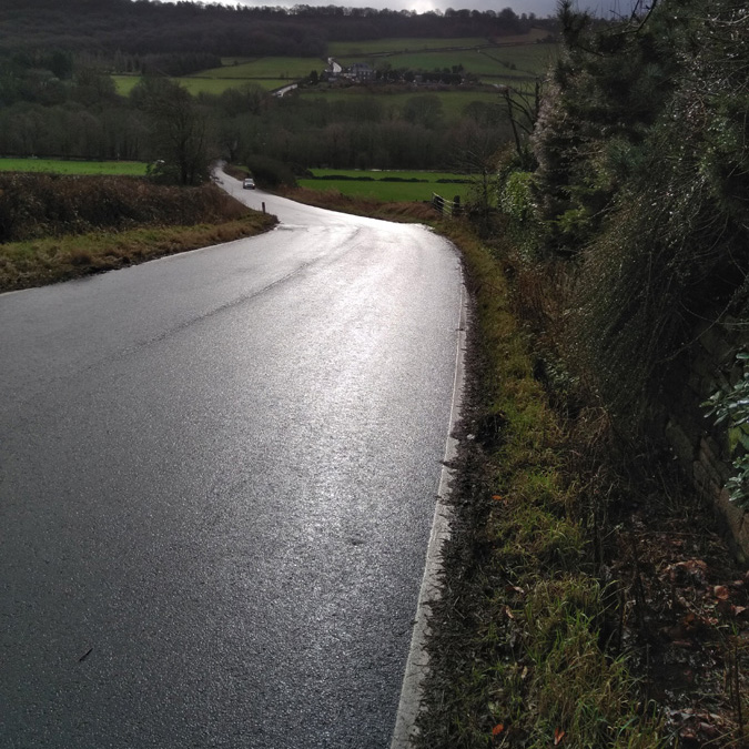
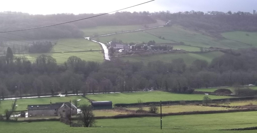
Well done, you’ve just made it up one of my favourite Sheffield cycling climbs. From here, turn right and drop back into Oughtibridge or, if you fancy continuing the challenge, turn left onto Green Lane and tackle another mile or so of 8% out into the countryside.