- Woodfall Lane & Côte de Bradfield
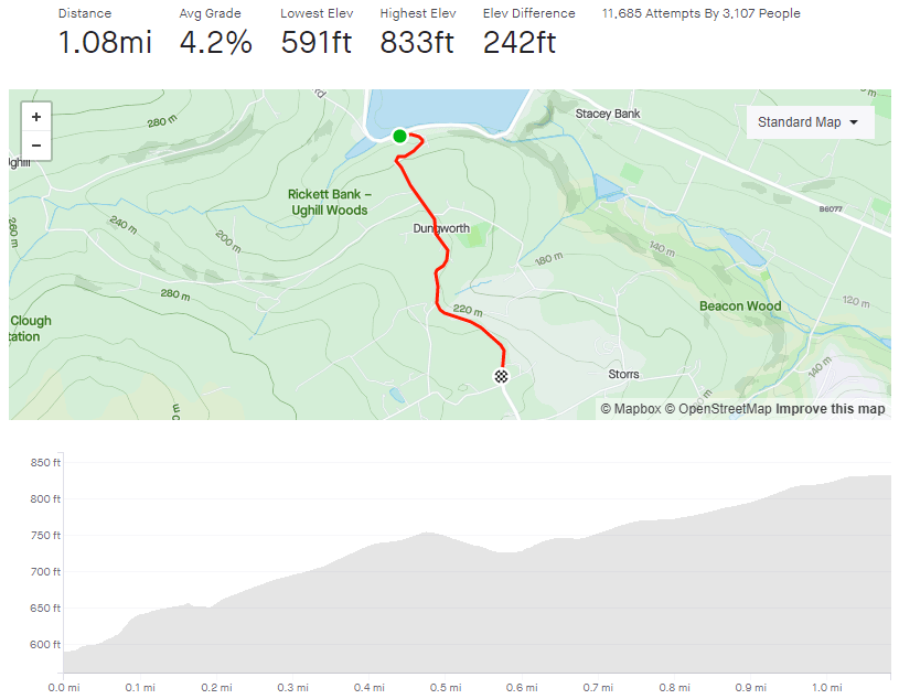
- Length: 1.71 miles
- Avg gradient: 10.1%
- Peak gradient: 23%
- Difficulty: 4/5
- Likelihood of encountering unpleasant motor-vehicles: 2/5
- Elevation gain: 633ft
- Strava
The Tour de France section is the easy bit.
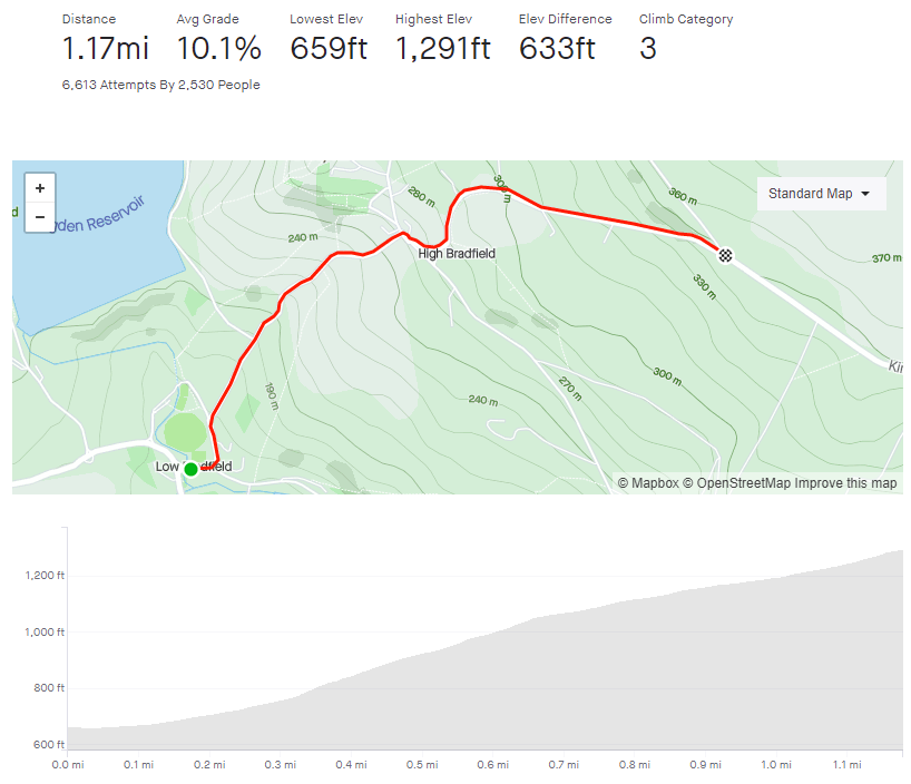
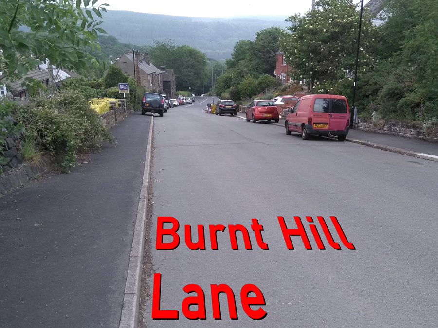
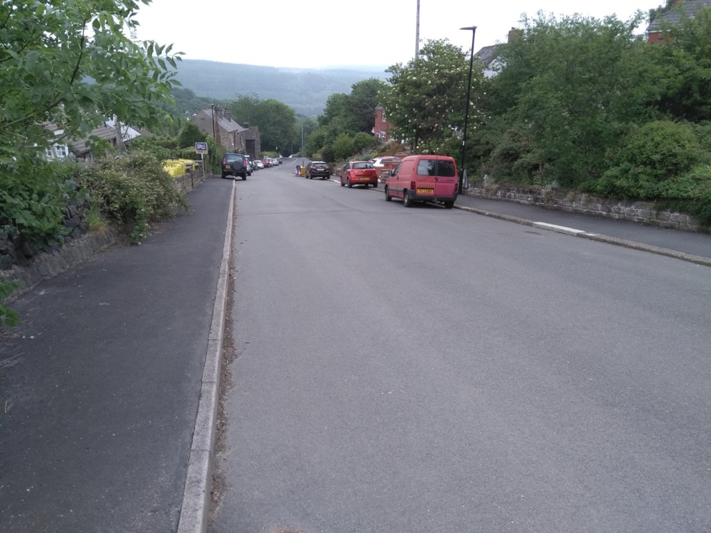
If you want to get from Low Bradfield to High Bradfield, unsurprisingly, it’s going to involve some climbing. The second half of this climb was one of the final climbs in Stage 2 of the 2014 Tour de France but, you’ll be glad to hear, the first section is much harder.

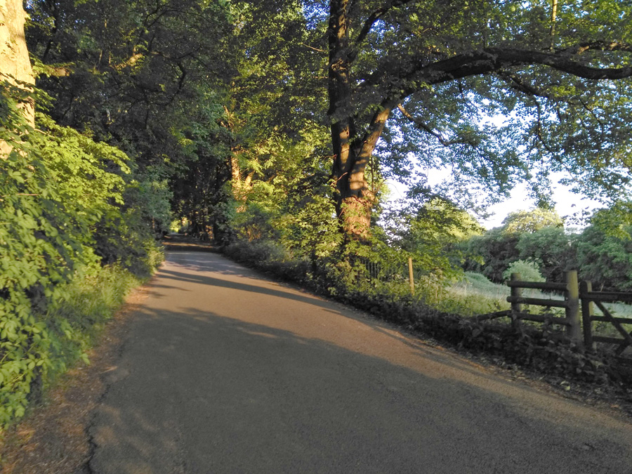
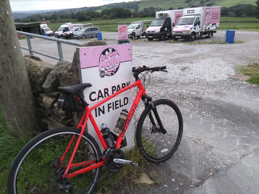
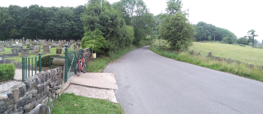
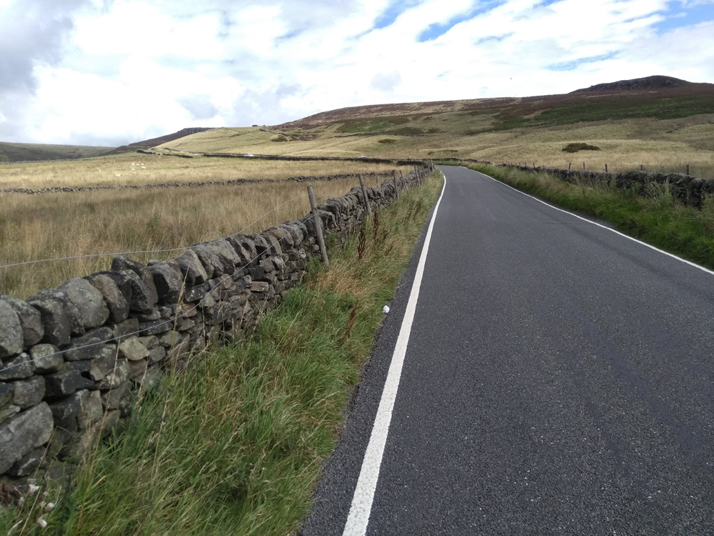
You begin in earnest in the quintessentially English village of Low Bradfield, with the cricket pitch behind you and the Post Office to your right (is that Mrs Goggins serving in there?). The start of the climb isn’t too foreboding at a steady 7% as it begins the ascent past houses and farm buildings towards the trees.

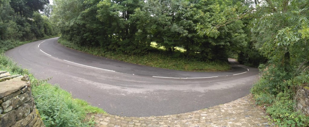
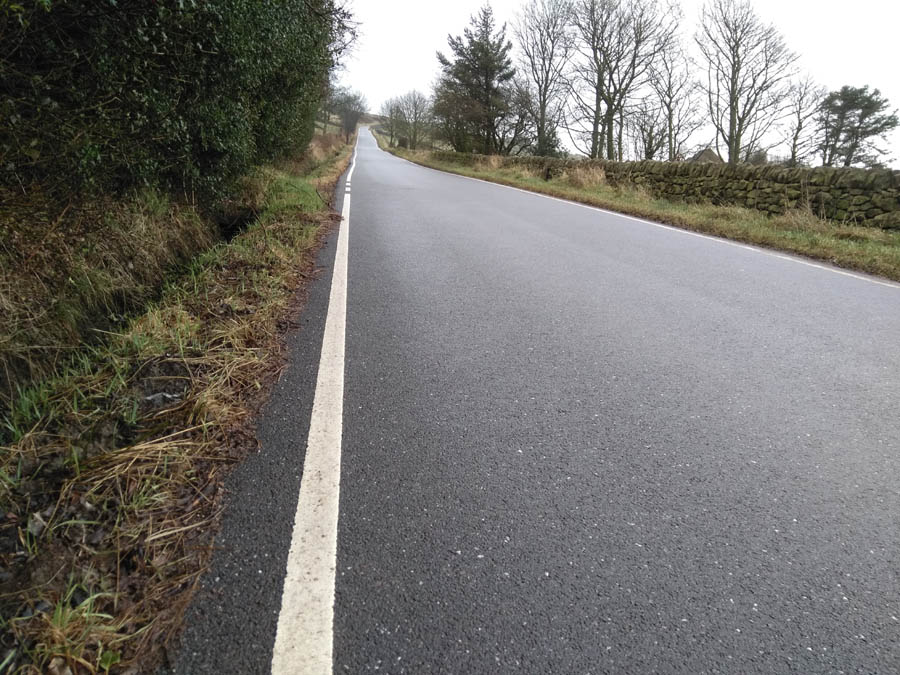
As you pass Smallfield Lane, you’ll notice a gradient increase into double figures, hitting the low 20s as the road wiggles under tree cover, soon hitting one of the most challenging bits of the climb. Photos of this section never capture how steep it really is. As you make it up a mild S-bend there is a bench to aim for (I had a sit down here the first time I attempted this hill) that I use as a mental marker for the climb easing off slightly (but only by about 5%). It’s relatively safe to zig-zag across the road here, if it helps, as most descending traffic is taking it cautiously and most ascending traffic is having as much difficultly getting up as you.

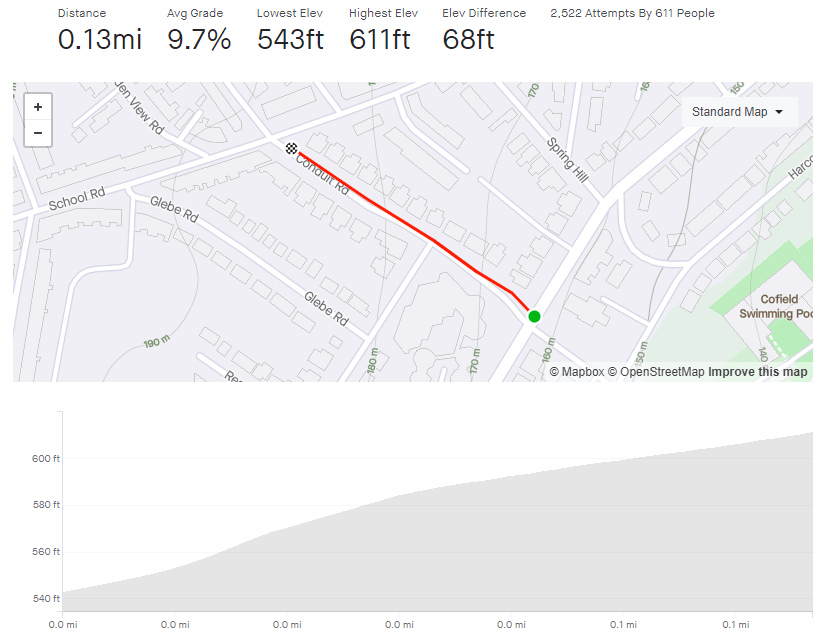
Once you’re around the right hand bend, you’ve got the (relative) ease of a section of 10-14%, so ease the pressure off the legs a bit before tackling the steep approach to the Old Horns Inn. There is a Strava segment saying that this bit is 31%, which I think is wrong but worth baring in mind for showing off to people who aren’t familiar with the road.

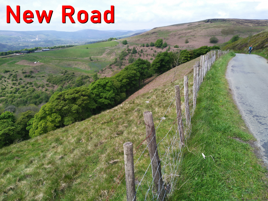
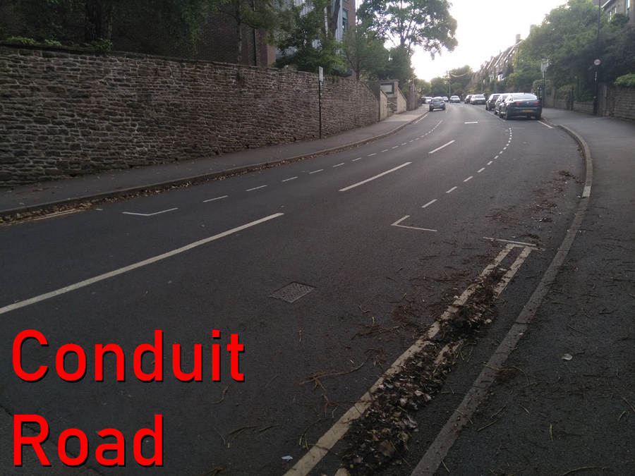
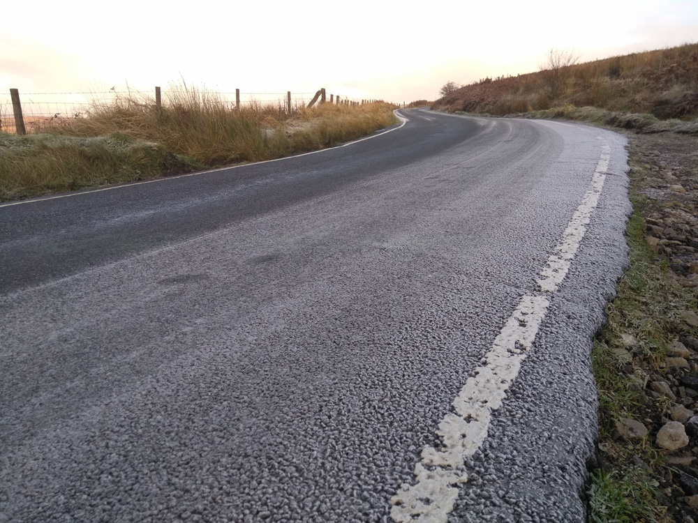
I think it is perfectly acceptable to take a couple of turns around the pub car park to get your breath back and legitimately claim that you didn’t stop on the climb before you tackle the ‘Côte de Bradfield’. Make sure Loxley Road is clear before crossing over on to Kirk Edge Road, where there’s a sign with some key stats, signifying the start of the Tour de France section. Although you have conquered the worst of this climb, the first blind bend in this section is a killer, just touching 20%, but feels harder as you need to stay on the inside to avoid any traffic coming the other way.

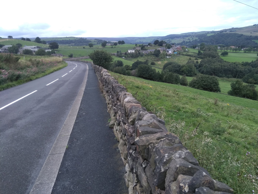
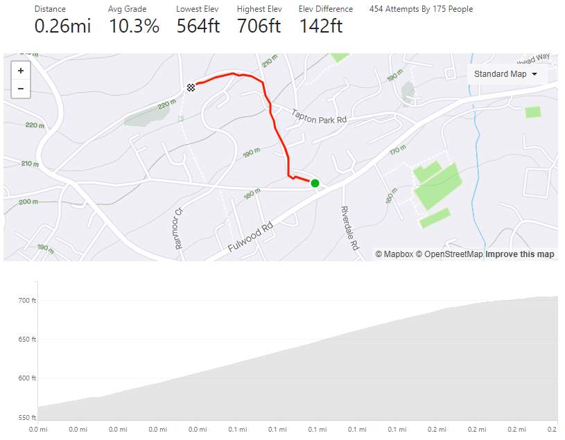
The landscape opens up here, with farmland stretching in all directions and you appreciate the 400 feet that you’ve already climbed. The remainder of the road is a steady, fairly straight climb, fluctuating around 10% (you might notice the occasional bit of faded Tour graffiti a la ‘Va Va Froome’ along the way) but feels harder because of what you’ve already achieved. Strava says the very end is only 13% but I’m sure it spikes closer to 20%. The first couple of times I did this hill, a sneaky little tailwind appeared just in time to push me to the summit. I hope you’re as fortunate as I was.
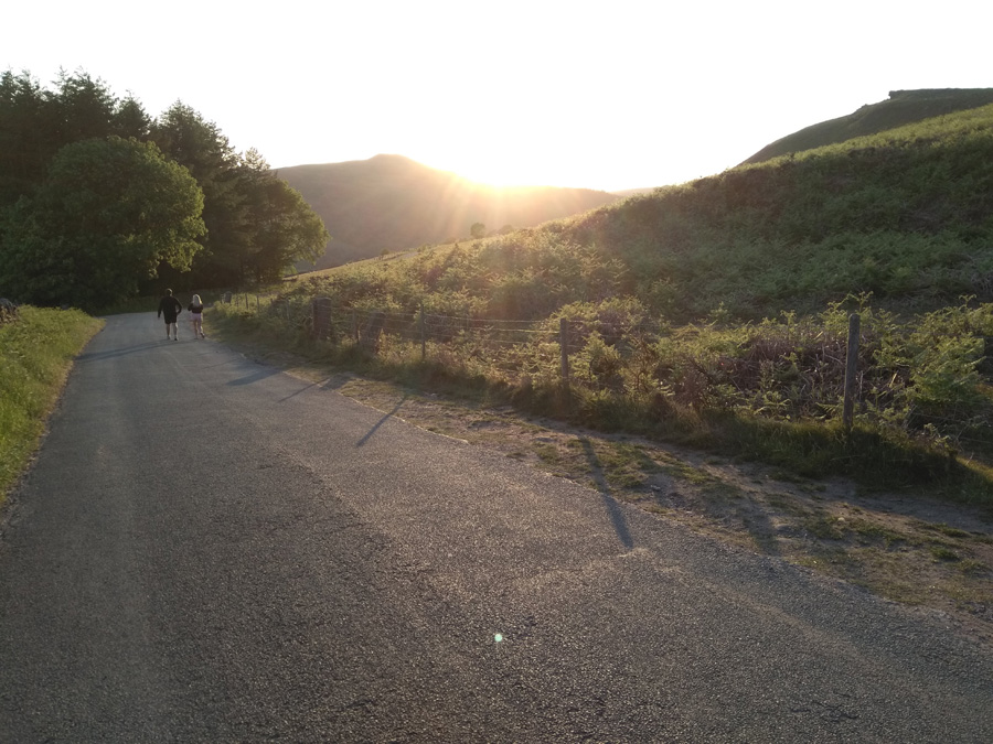
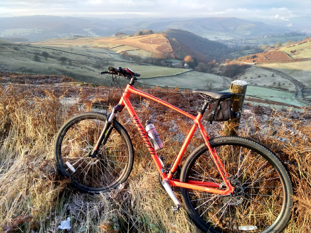
The reward for your efforts is one of the most fun, fast descents in the area. At almost 2 miles before you meet a junction, although slightly bumpy in places, riding down Kirk Edge Road makes the climb up Woodfall Lane and and the Côte de Bradfield worth the suffering.