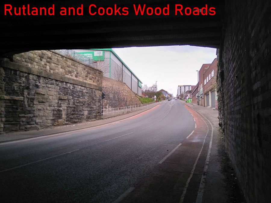
- Rutland and Cooks Wood Roads
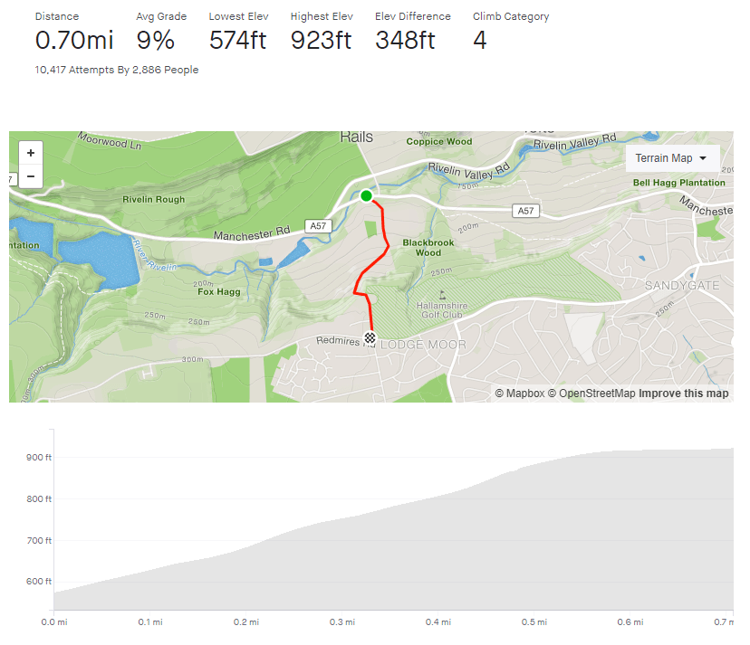
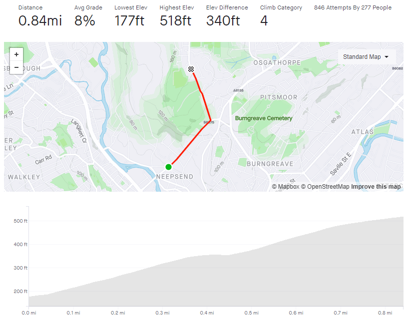
- Length: 0.84 miles
- Avg gradient: 7.7% Peak gradient: 12.1%
- Difficulty: 3/5
- Likelihood of encountering unpleasant motor-vehicles: 5/5
- Elevation gain: 340ft
- Strava
Pre-bike, I often used to commute this way, so Rutland Road was one of my earliest introductions to what Sheffield hills are like – even though I was in the car. As a consequence, this hill had a slightly foreboding reputation (in my head at least) and it was a while before I tackled it. When I finally did, and managed to beat it, it felt like a real achievement. However, it was a long time until I added Cooks Wood Road on the end.
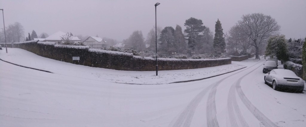
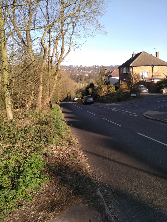
Starting under the railway bridge, the road stretches far up ahead of you, although you’ll probably not be able to see it for all the cars. This is not a quiet climb and you will get some form of aggressive motor vehicle pass you. The photos here were all taken at the start of the COVID-19 lockdown and I still got close-passed. You won’t ever see the road it as quiet at this otherwise.

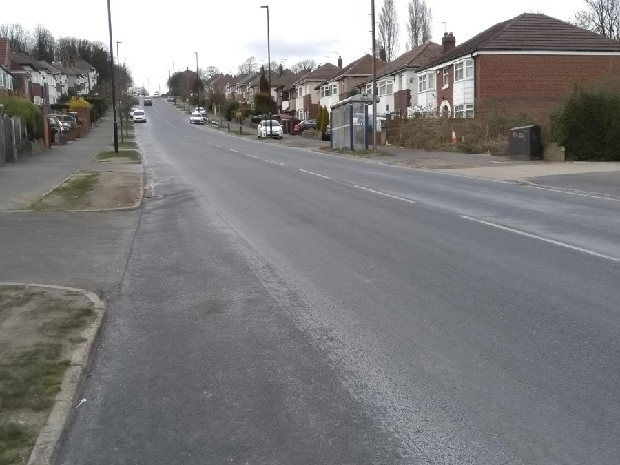
For the first third, it’s a fairly steady 9-10%, with not much to look at except a large variety of industrial units, so just head down and try not to get hit by a grumpy motorist. As you reach Parkwood Springs and the Sea Cadet Corps, on your right, the road flattens for a short run to the traffic lights.
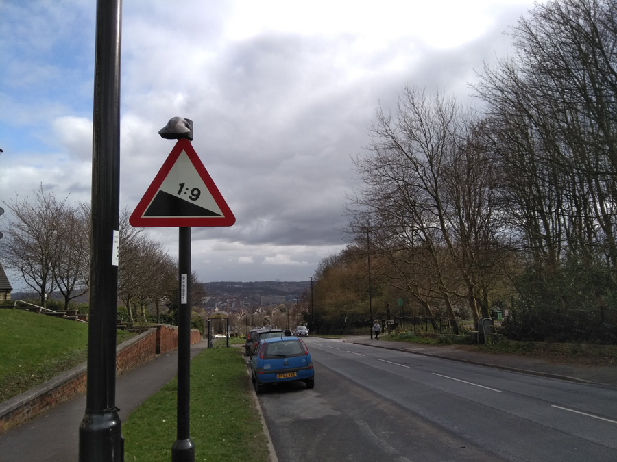
If you’re lucky, you’ll get a red and can have a legitimate breather before taking the left turn onto Cooks Wood Road. You’re straight into the climb again and although it never gets more than 2% steeper than Rutland, Cooks Wood Road feels a lot more challenging. There’s no obvious landmarks but near the bus stop, the road ramps up and you’ll need to drop into that lower gear for another 0.1 mile, until you pass the entrance for Parkwood Springs on your left (an old style 1:9 gradient sign still remains on the other side of the road). The Strava segment continues for another 350 yards or so but once you’re here, you’ve done the heavy lifting.
Hopefully you made it up in one piece and, if you fancy a change of tempo, you could always ride the Parkwood Springs MTB track back downhill.